
18th Century Maps
18th Century Maps

1700’s
Map of Cambridge. Plan . [eighteenth century?]. 17 x 21.5 cm

1701
Map of Cambridgeshire. 1701, reprinted 1720. Robt Morden, engr. From “Magna Britannia et Hibernia” issued by the Rev. Thomas Cox. Sc. About 5 ½ miles 1 inch. Coloured. 20 x 14.5 cm. (FORDHAM 129)
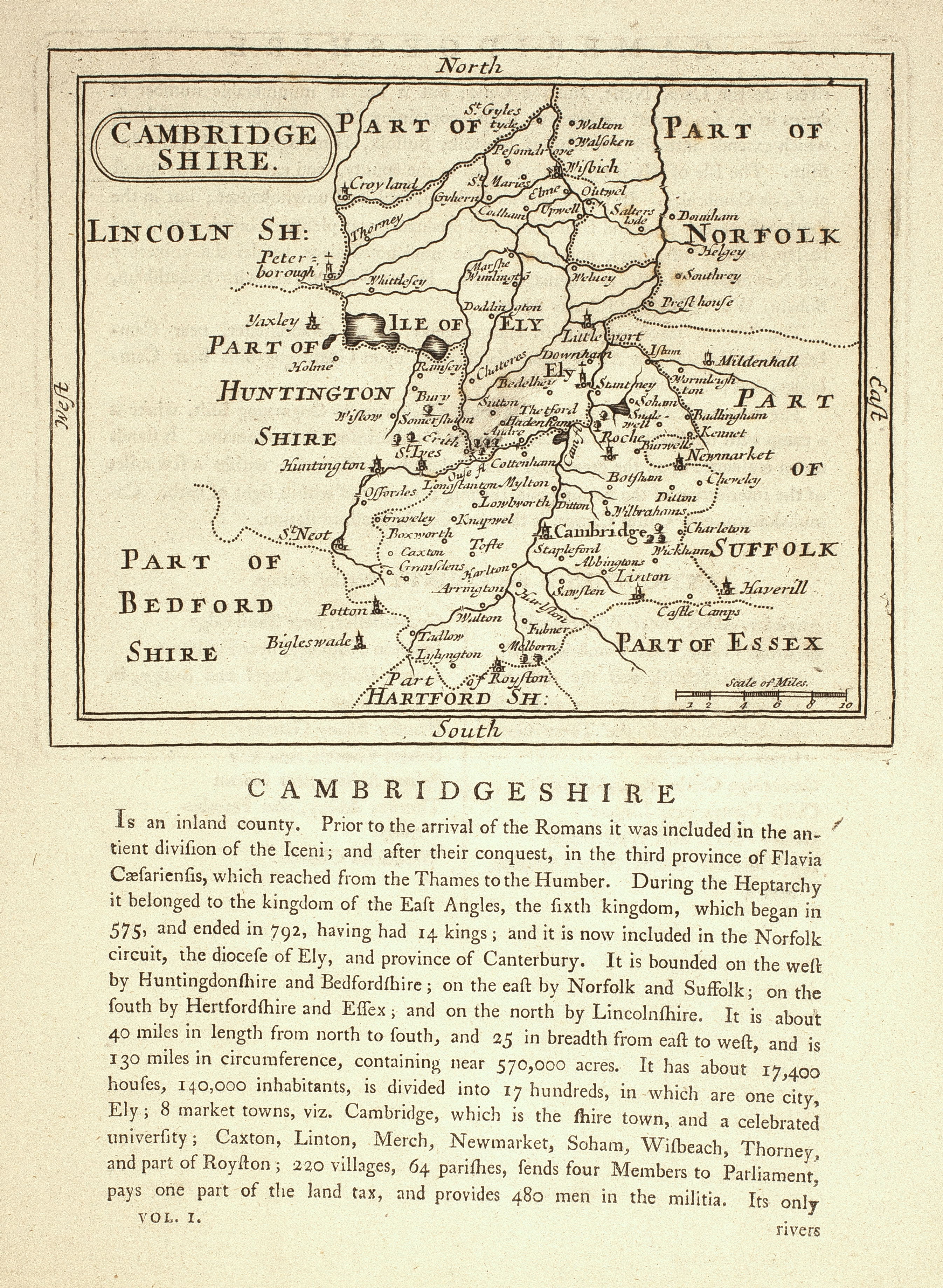
1701
Map of Cambridgshire. 1701 Map & text from Camden’s Britannia. J. Seller. Sc. 4 miles to 1 inch. 11 x 13.5 cm. (FORDHAM 128)

1723
Map of Cambridgeshire. 1724. Herman Moll. From “A new description of England & Wales, with adjacent islands”. Sc. 5 miles to 1 inch. 25 x 18 cm. With representation of Saxon coins at top & foot of plate. (FORDHAM 132)
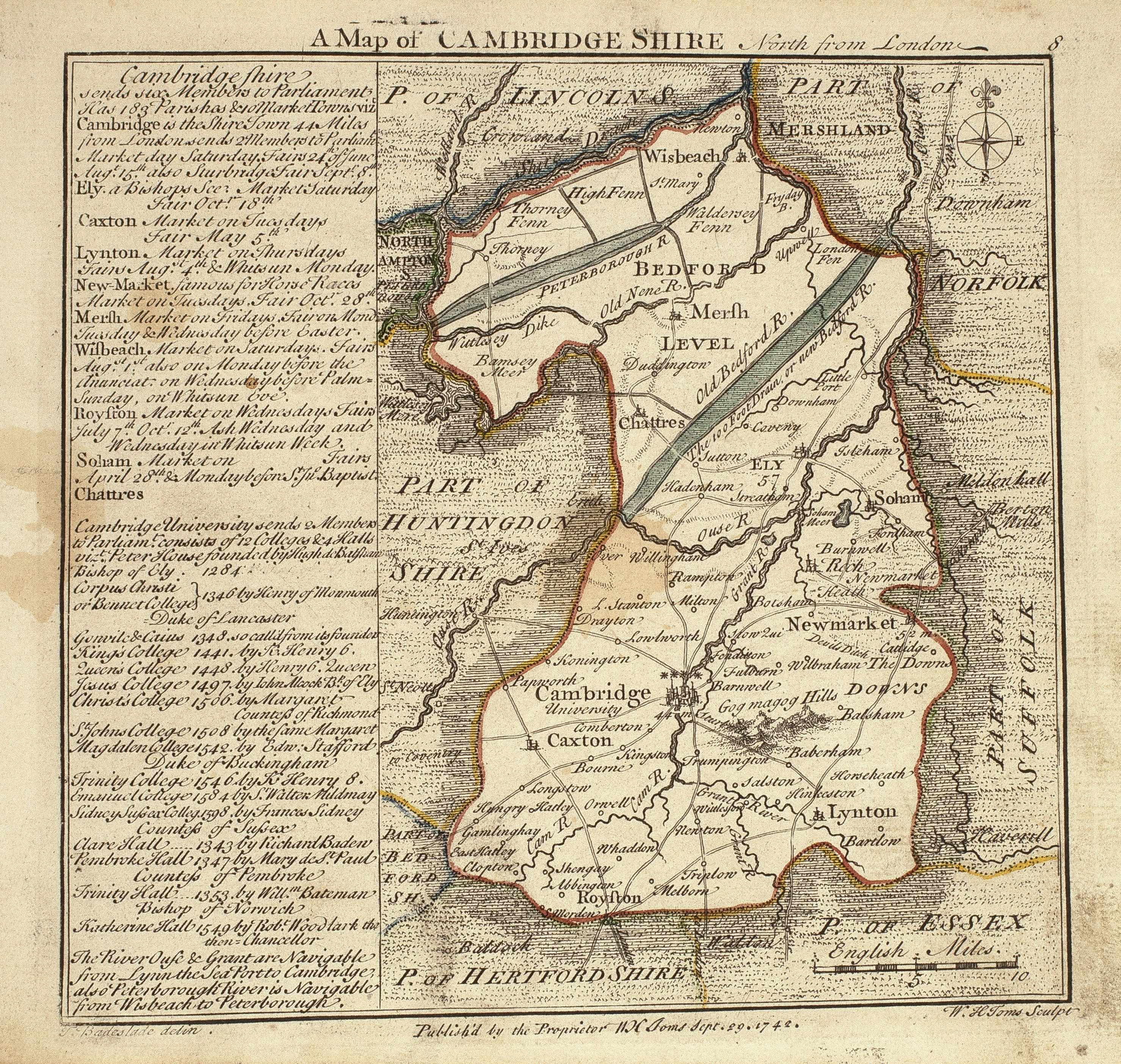
1742
Map of Cambridgeshire, 1742. Sc. T. Badeslade de., W.H. Toms. From Chorographia Britanniae. With notes on market towns, colleges, etc. Sc. about 8 miles to 1 inch (coloured). 14 x 10 cm. (FORDHAM 133)

1746
Map of Cambridgeshire, 1746. From J. Rocque, English Traveller, Vol I, page 73. 19.5 x 16 cm. Sc, 8 miles to 1 inch. (FORDHAM 134)
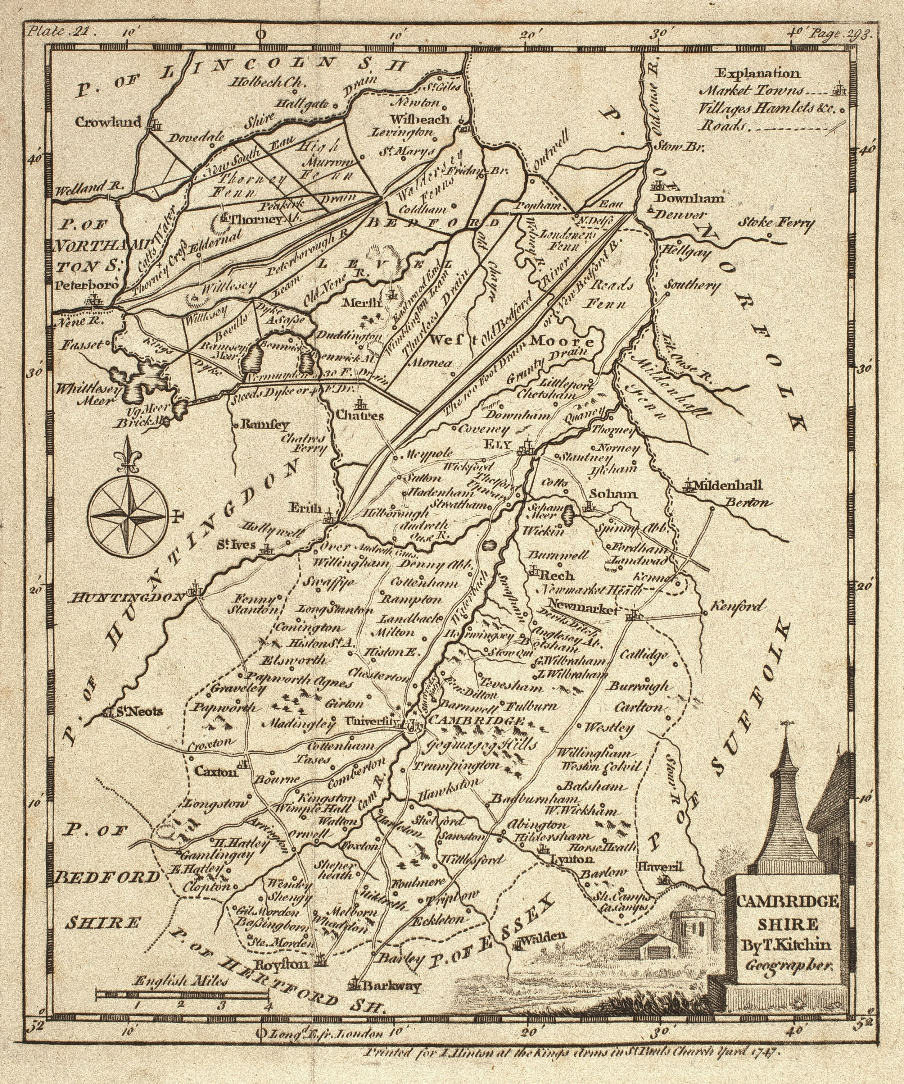
1747
Map of Cambridgeshire, 1747. T. Kitchin, from “The Universal Magazine of Knowledge & pleasure”. Sc, about 3½ miles = I inch. 17 x 14 cm. (FORDHAM 135)
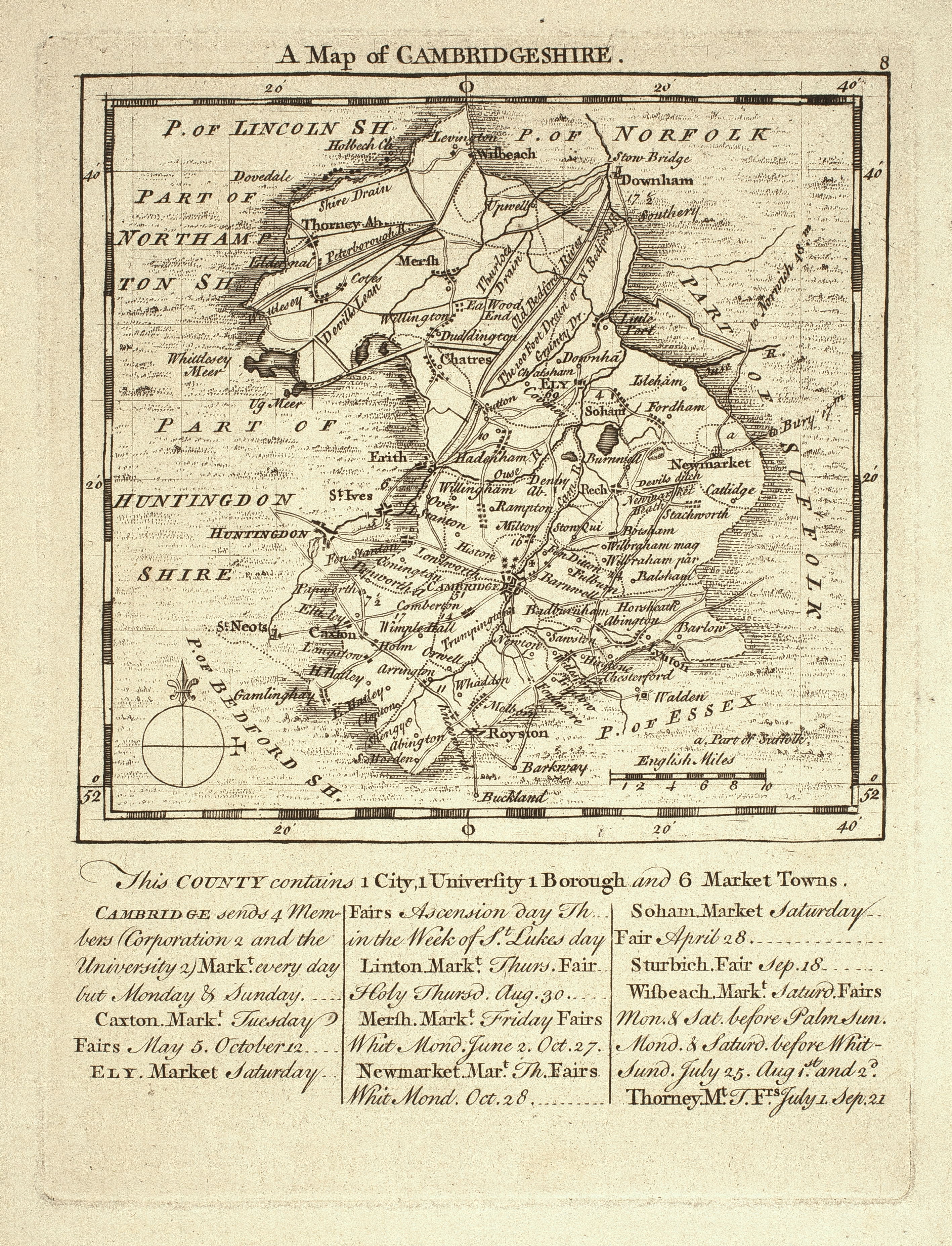
1749
Map of Cambridgeshire, 1749 [with notes on fairs etc.]. T. Kitchin & T. Jefferys. Sc. 10 miles to 1 inch. 11.5 x 12.2 cm. (FORDHAM 136)
1750
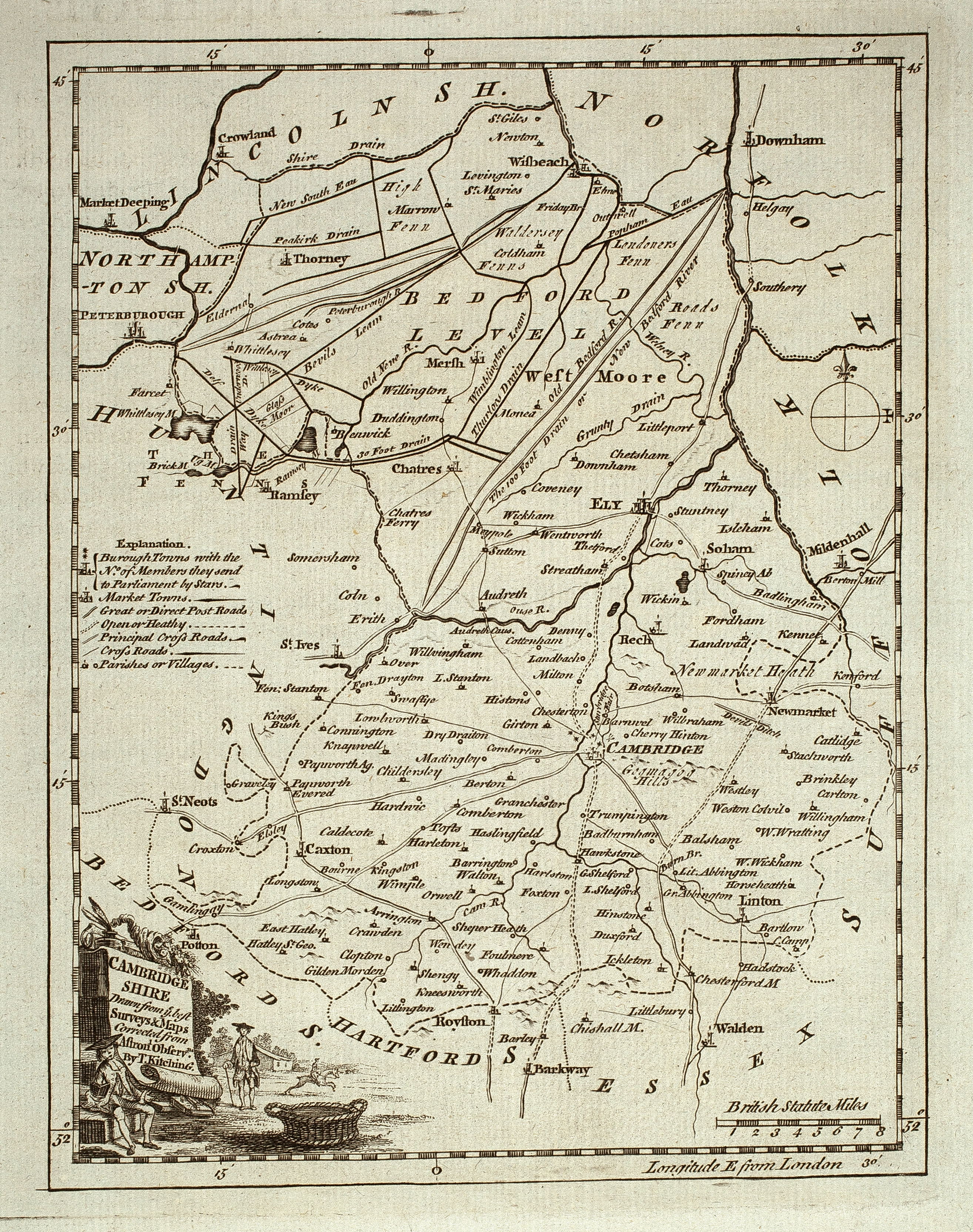
Map of Cambridgeshire, corrected from Astronomical Observations [with legend]. 1750 T. Kitchin. From the ‘London Magazine; or Gentleman’s Monthly Intelligencer’. Sc. 7 miles to 1 inch. 20 x 15 cm (FORDHAM 137). Another copy with text from Boswell, Historical Descriptions, 1786.
1759
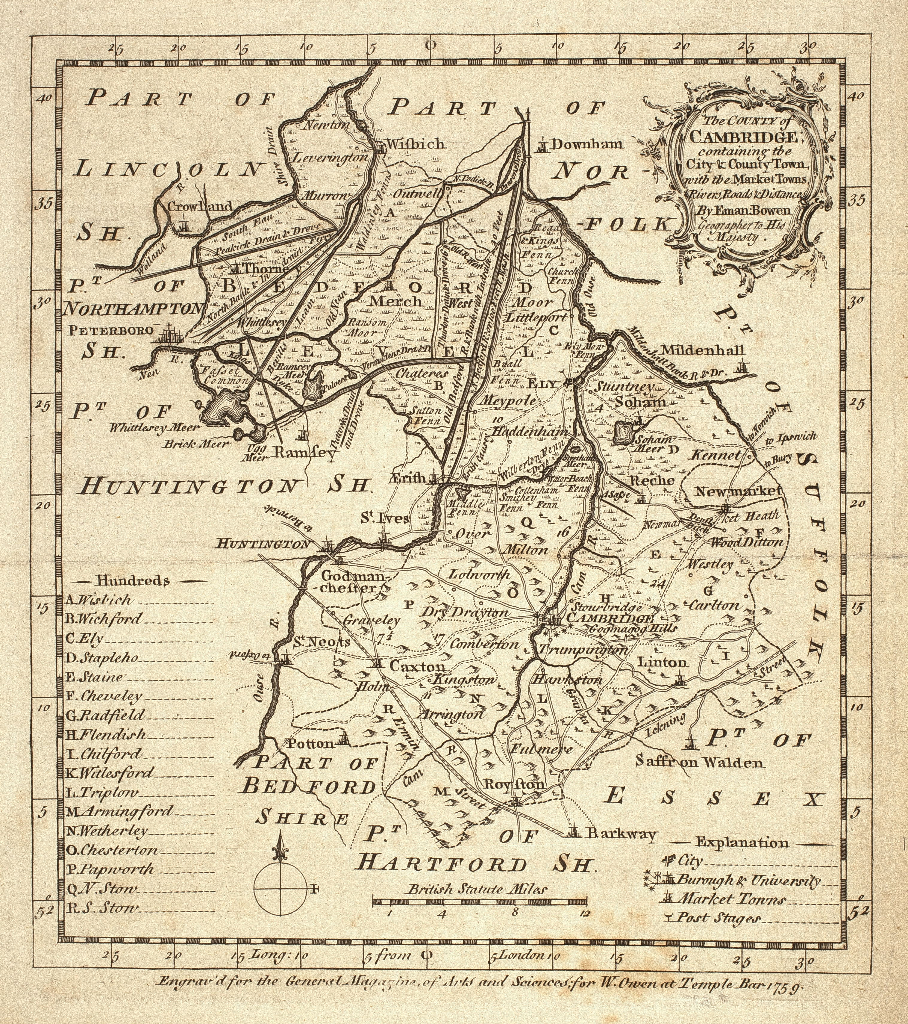
Map of the County of Cambridge. 1759. Eman. Bowen. (Benj. Martin) Sc. 7 miles to 1 inch. 18 x 16 cm. From “The Natural History of England, a section of the General Magazine of Arts & Sciences”. (FORDHAM 142)
1766
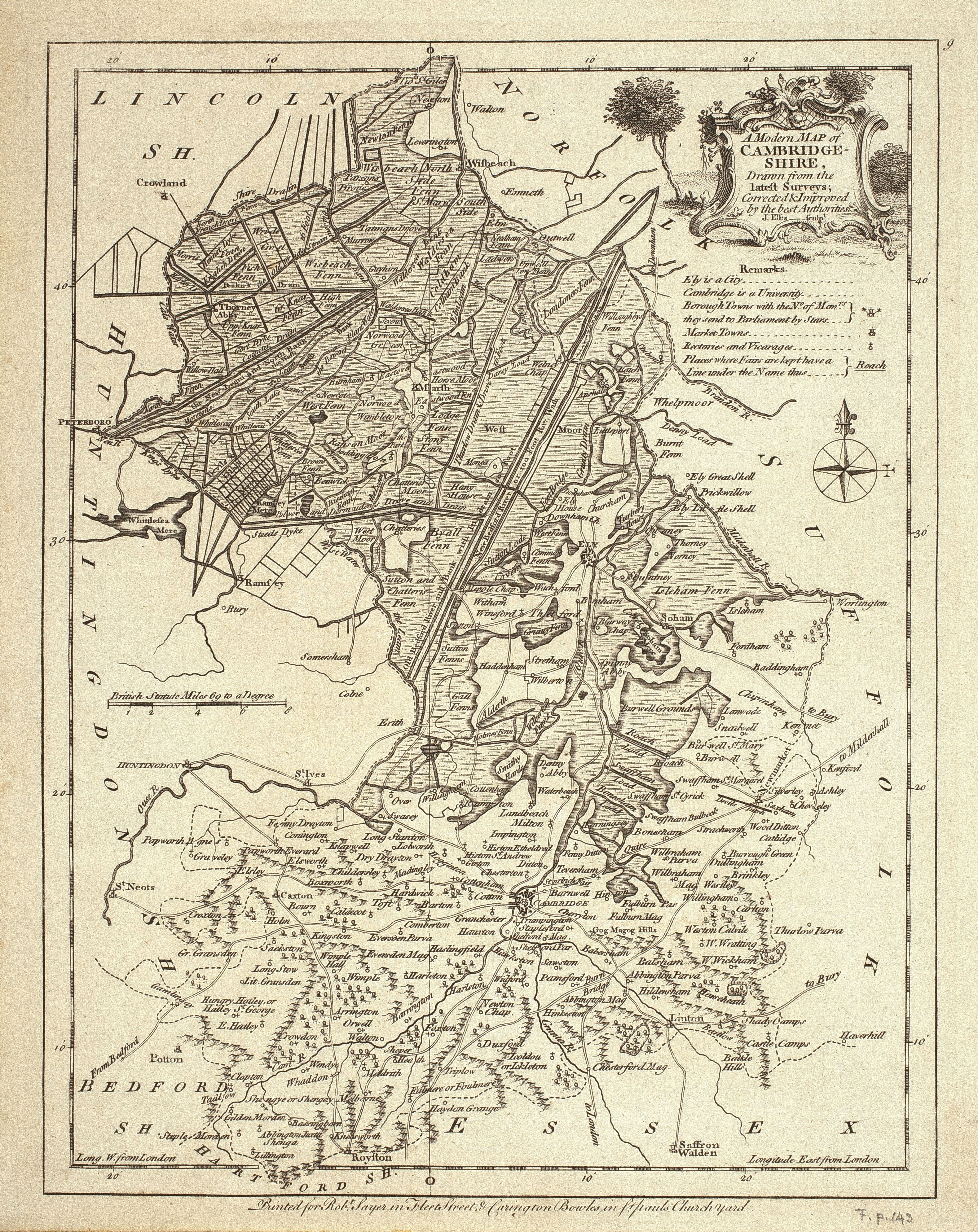
Modern map of Cambridgeshire. from the latest surveys. 1766. J. Ellis, sc. Sc. About 5 miles to 1 inch, 69 m. to 1 degree. 23.5 x18 cm. (FORDHAM 143)
1767
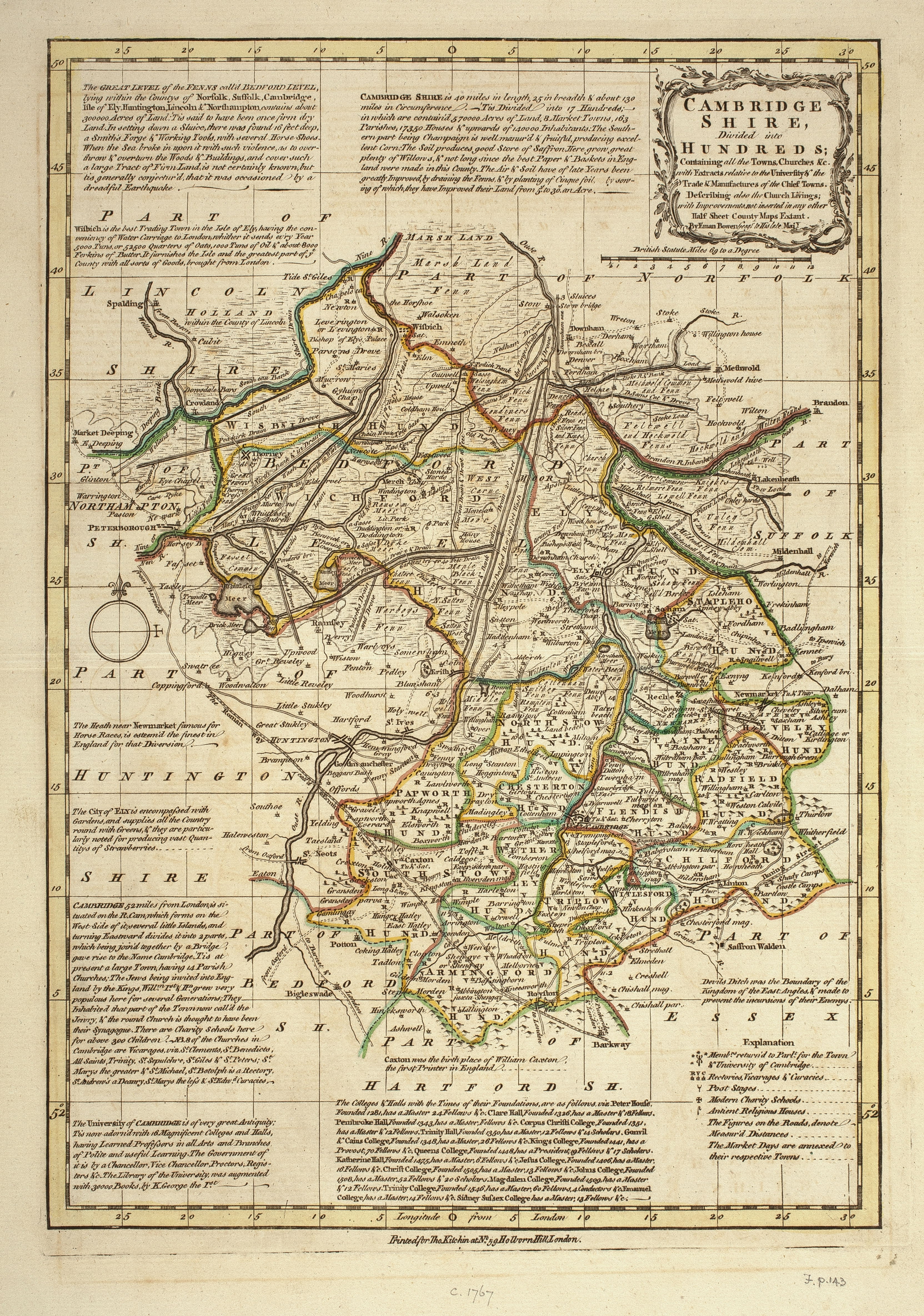
Map of Cambridgshire divided into Hundreds. C. 1767. Coloured with explanatory notes. Eman. Bowen, engr. & T. Kitchin, pr. Sc. 69 miles to 1 degree. 30.5 x 21.5 cm. From Bowen’s Atlas Anglicanus. (FORDHAM 143-144)

1784
New Map of Cambridgeshire [1784?] . T. Conder sc. Sc. 7 miles to 1 inch. 18.5 x 14.5 cm.
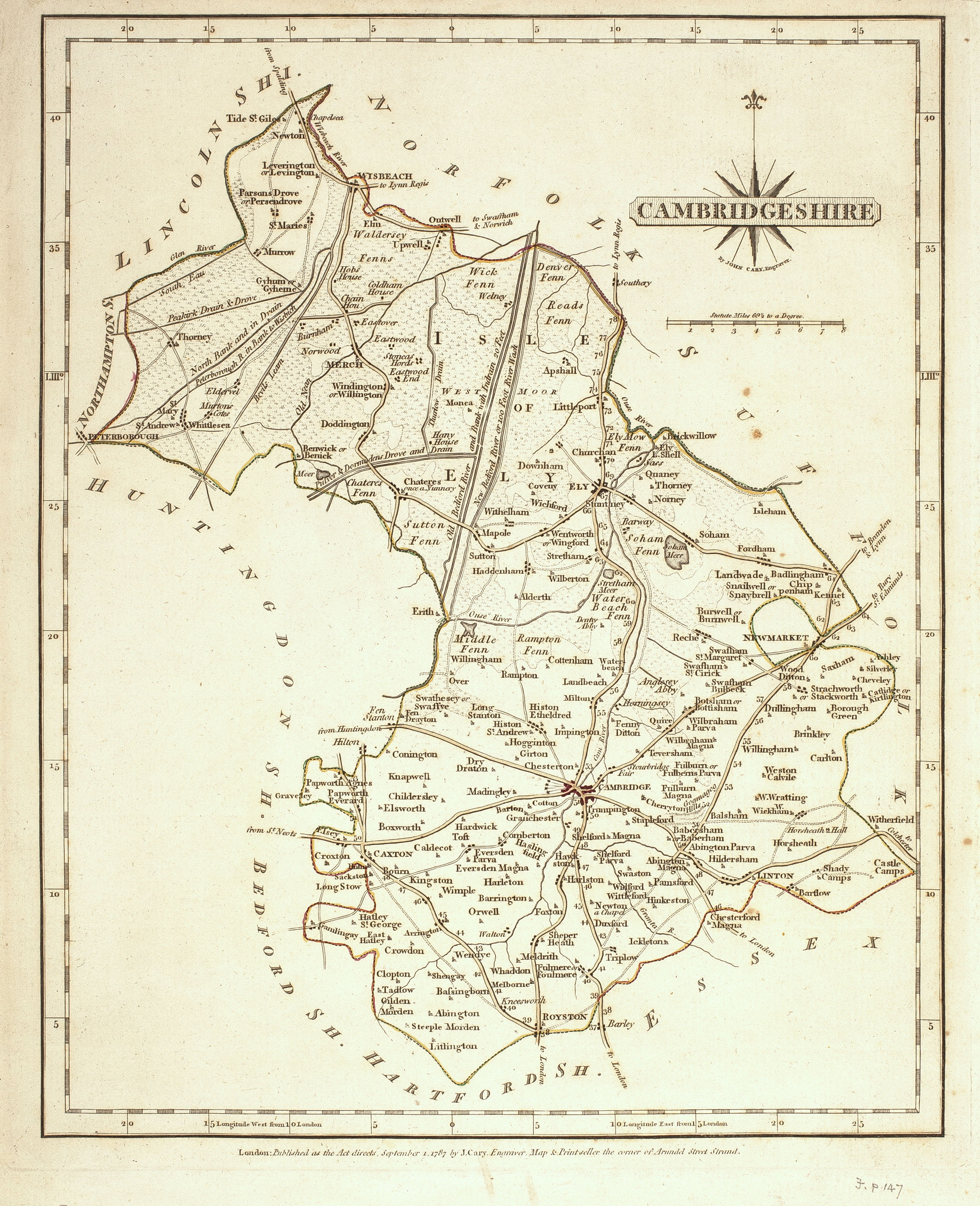
1787
Map of Cambridgshire. J. Cary 1787 ; reprinted 1793 and 1818. 24.5 x 20 cm. From ‘Cary’s New and Correct English Atlas’, with text. Sc. 5 miles = 1 inch. (FORDHAM 147-8)
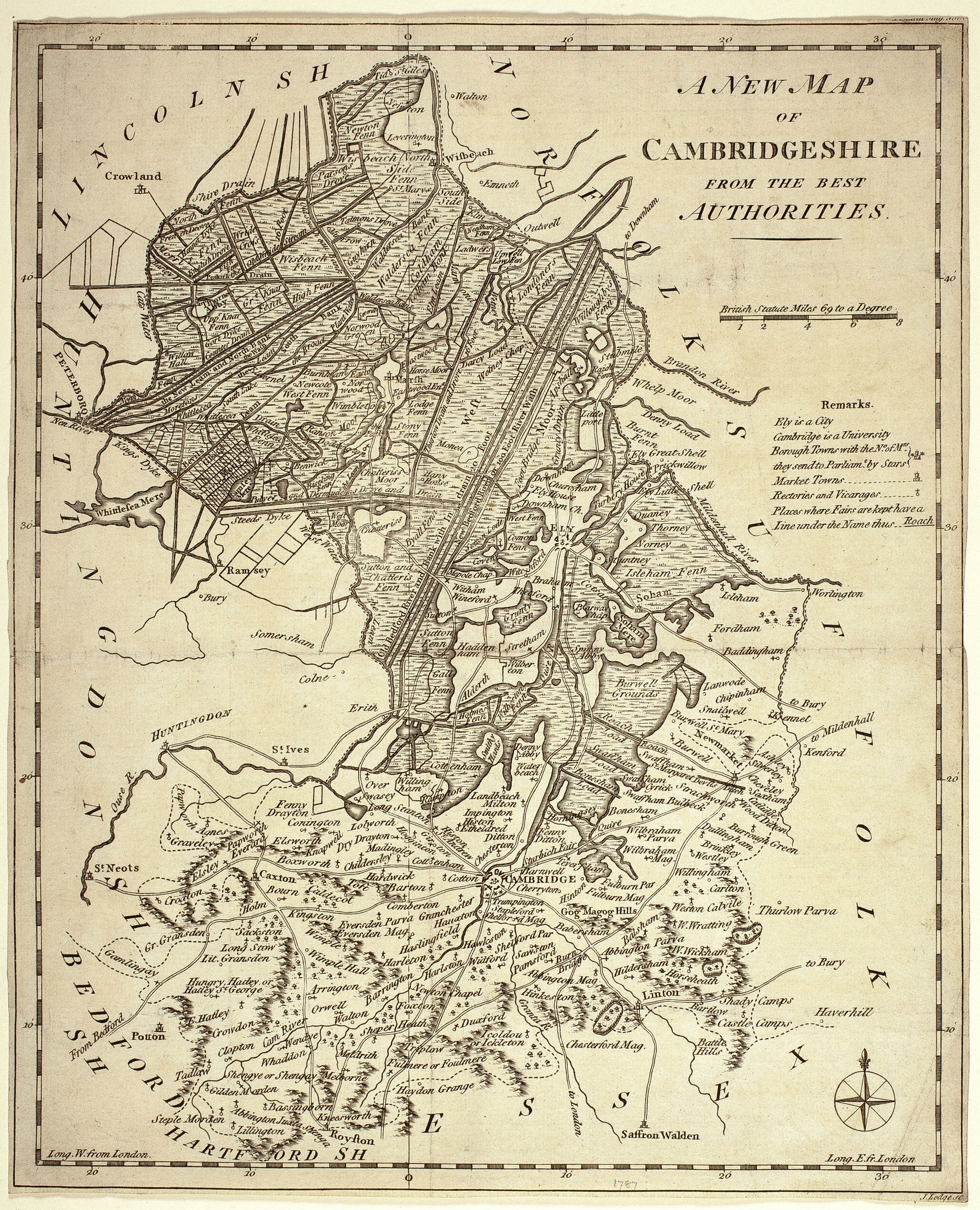
1787
New Map of Cambridgeshire from the best Authorities. 1787. J. Lodge. From the ‘Political Magazine, and Parliamentary, Naval, Military and Literary Journal’. Sc. 4 miles to 1 inch. 30.5 x 25 cm. (FORDHAM 148)
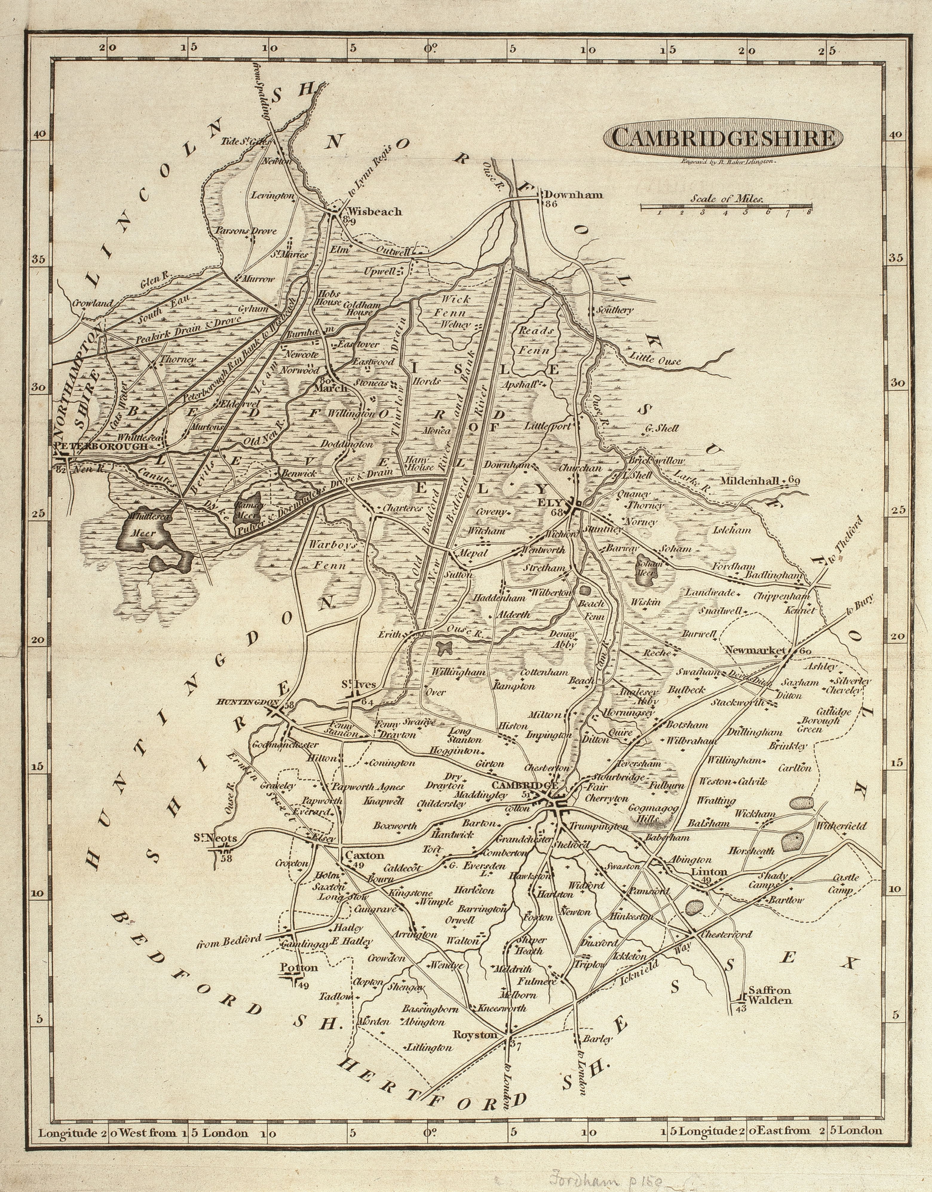
1791
Map of Cambridgeshire 1791. R. Barker, engr. From the ‘Universal Magazine of Knowledge and Pleasure’ Vol 88. Sc. 6 miles to 1 inch. 21.5 x 17 cm. (FORDHAM 150)
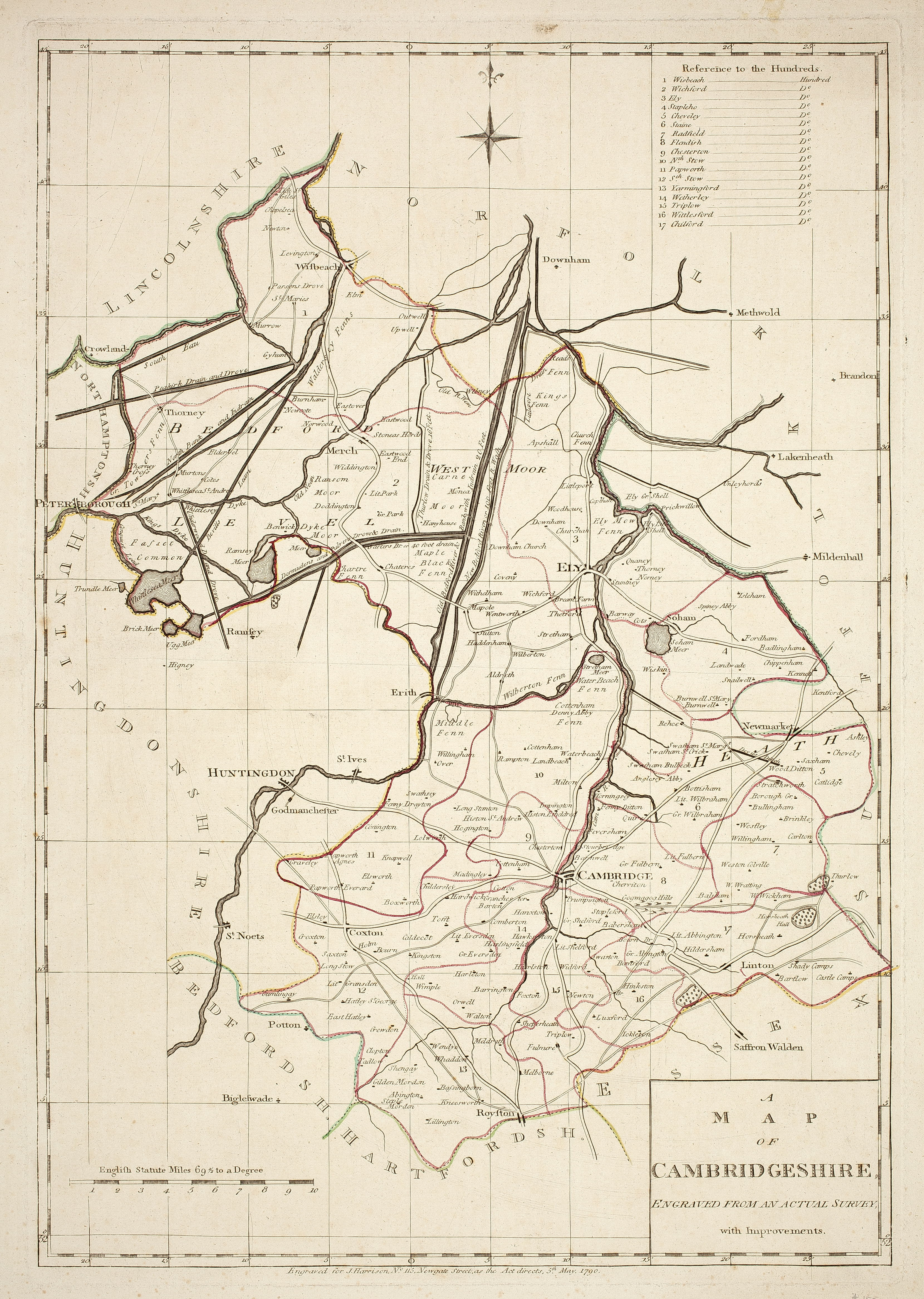
1791
Map of Cambridgeshire. from an actual Survey with Improvements. [1791] Pr. J. Harrison, 1790. From Maps of the English Counties, 1791.(FORDHAM 150)
