
20th Century Maps
20th Century Maps

1900’s
Map of Cambridgeshire. The Cam from Barrington to Ely. 19– ? Darbishire & Stamford. Sc. 2 inches to 1 mile.58 x 49 cm. (Oxford Geog. Inst.)
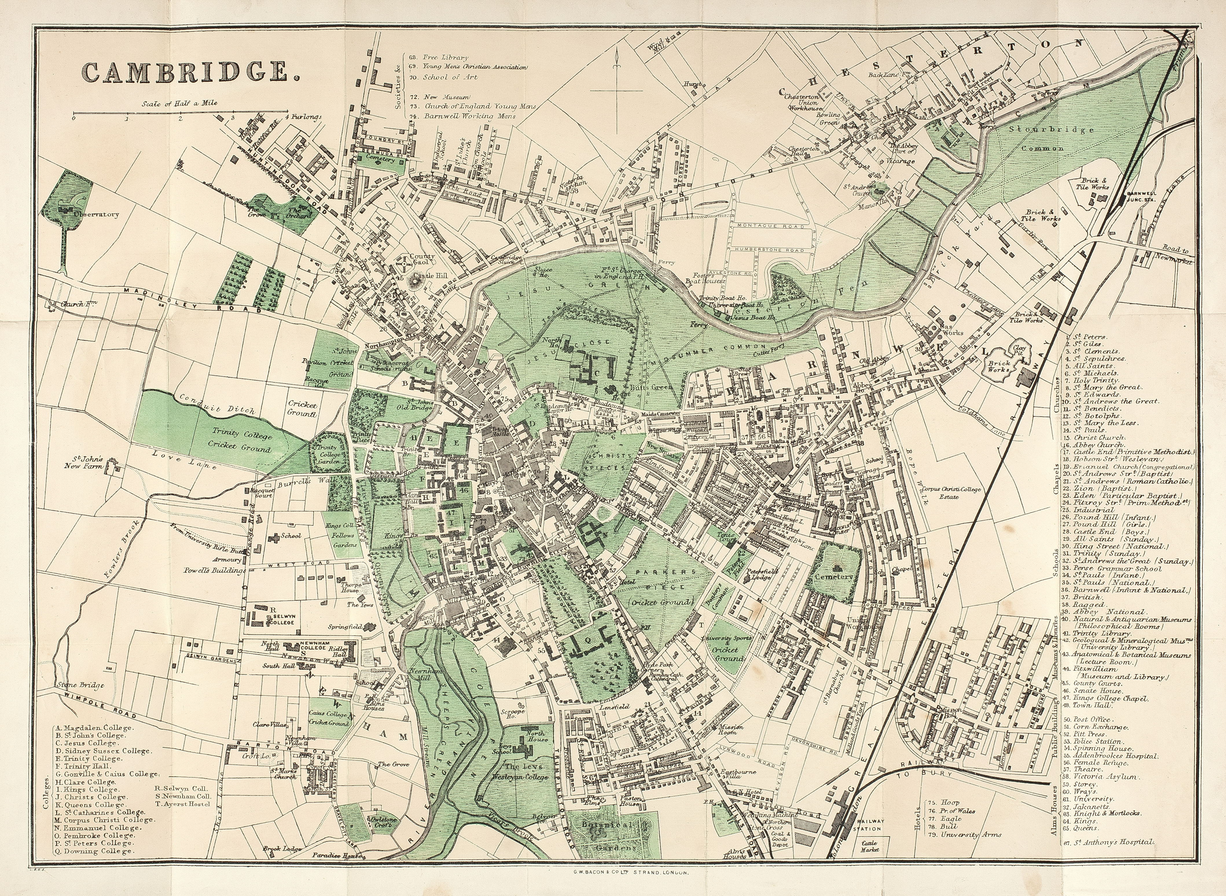
1910
Map of Cambridge. Bacon. Sc. 8 ½ in. to 1 mile. c. 1910 ?
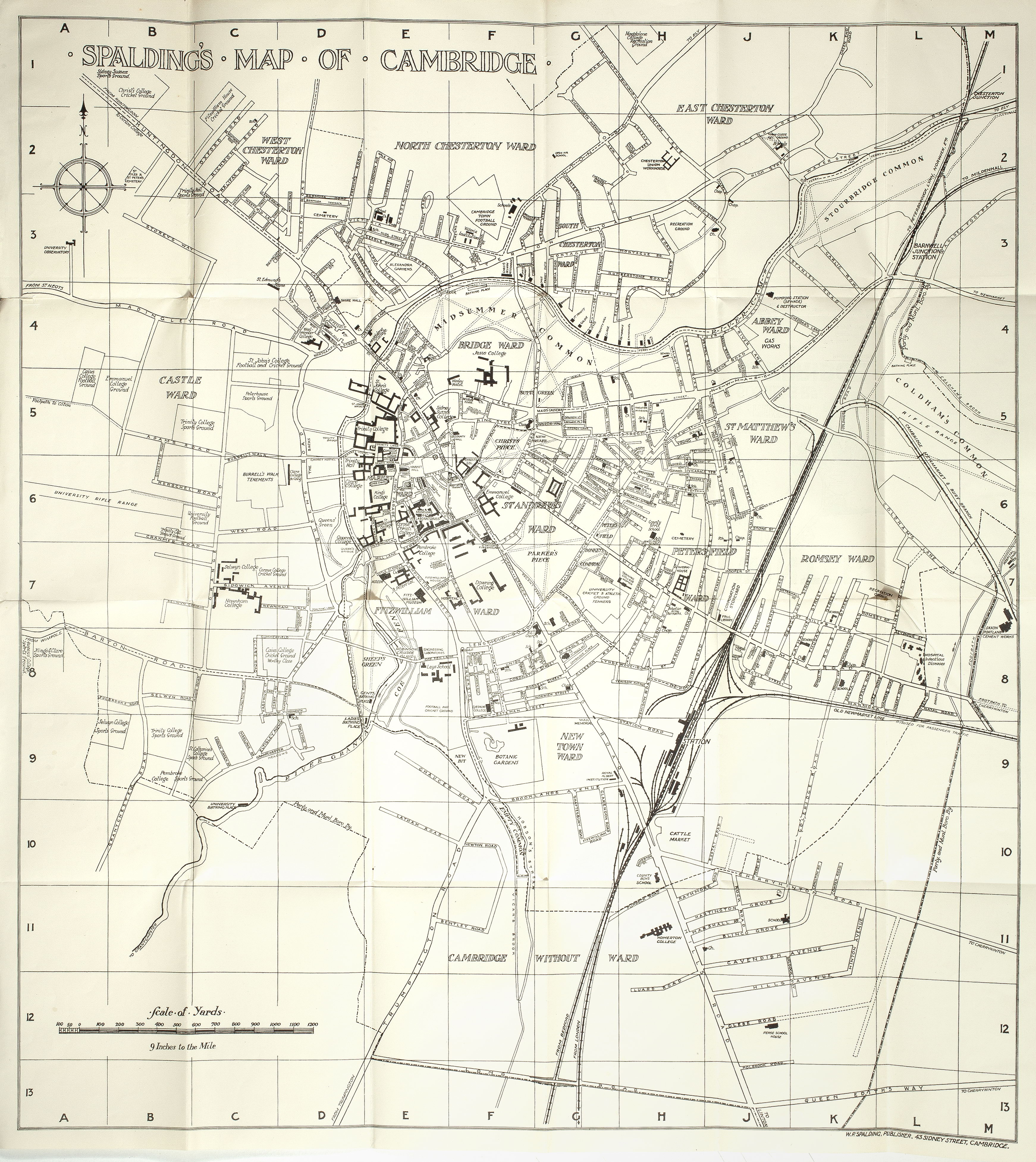
1925
Map of Cambridge. Spalding. Sc. 9 in. to 1 mile. c. 1925 ?

1928
Map of Cambridge. Part of the Town, prepared for the International Geographical Congress 1928 (O.S.) Sc. 12 in. to 1 mile. 54.5 x 57.5 cm.
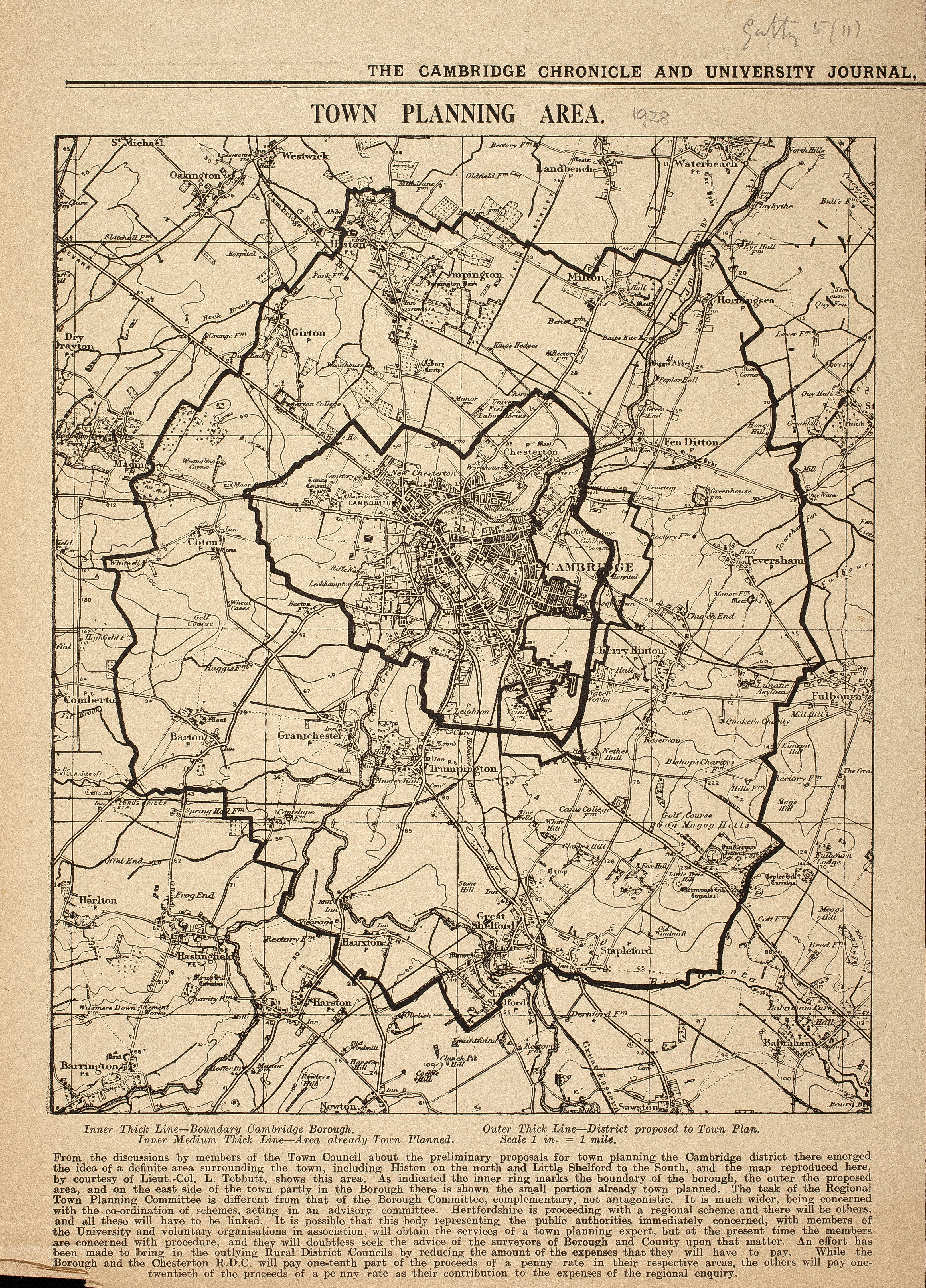
1928
Map of Cambridge. Town planning area [1928], newspaper cutting.
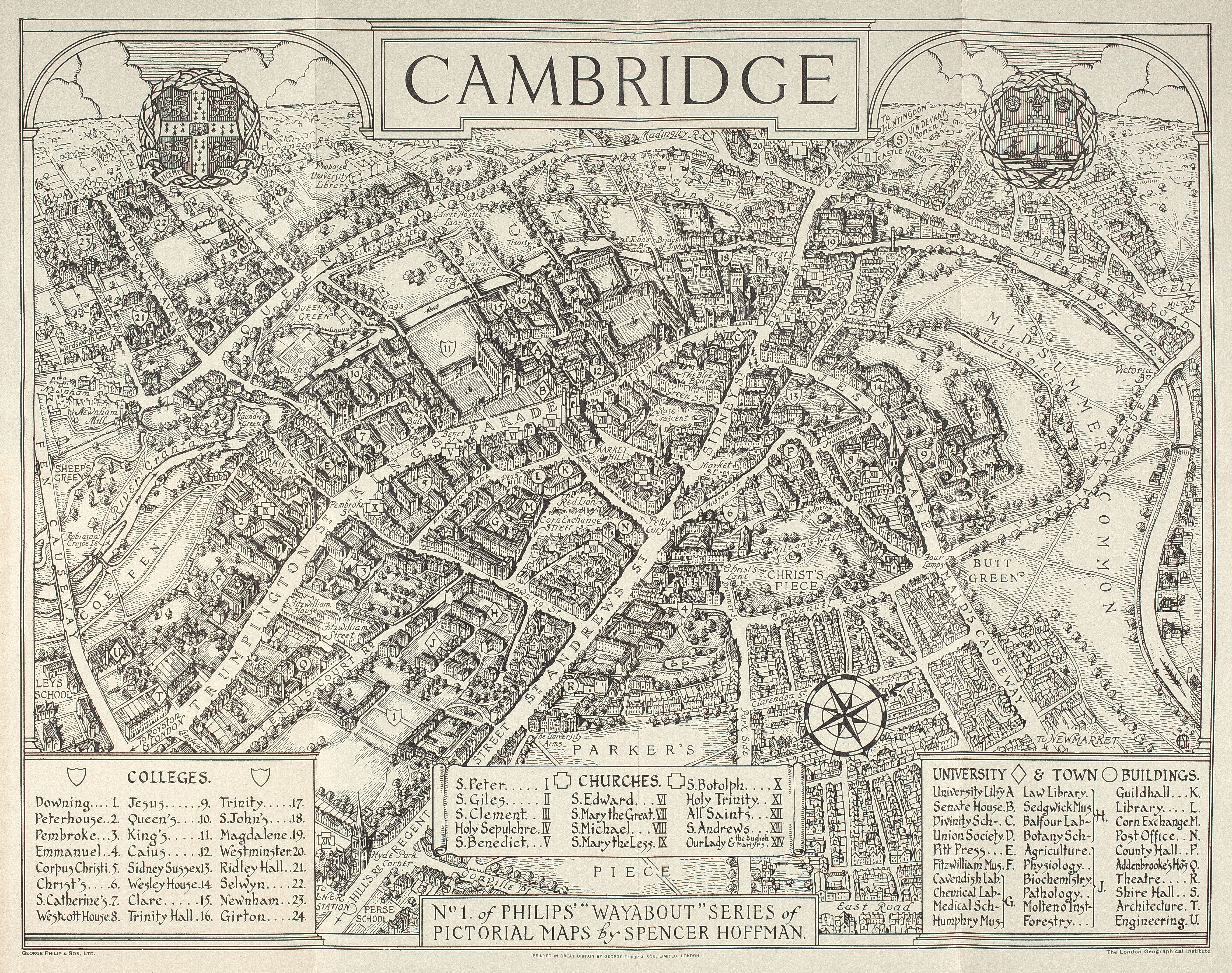
1929
Map of Cambridge. Phillips. ‘Wayabout’ pictorial map by G.S. Hoffman. 1929.
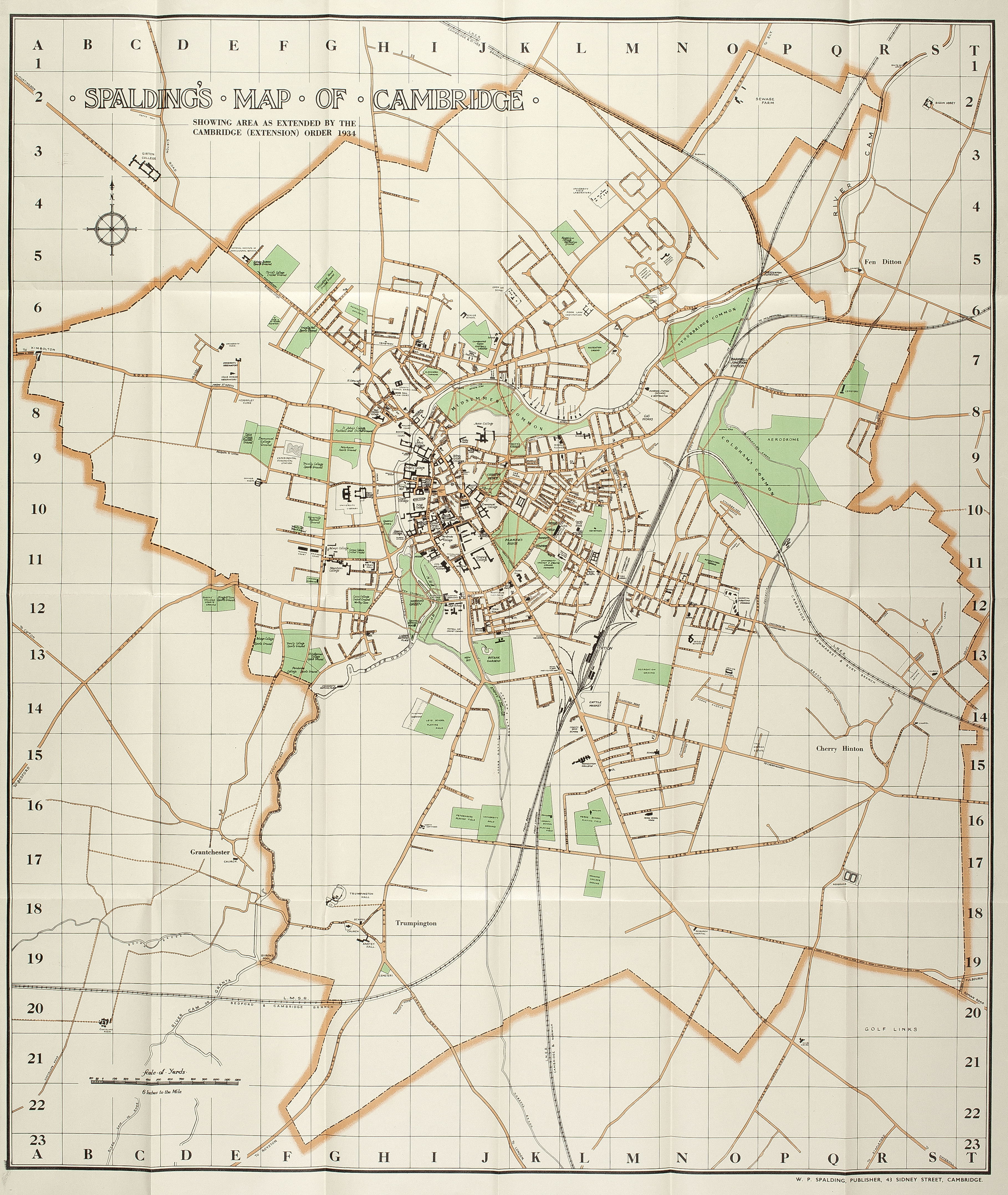
1934
Map of Cambridge. Spalding. Sc.6 in. to 1 mile. c. 1934. Showing area as extended in 1934.
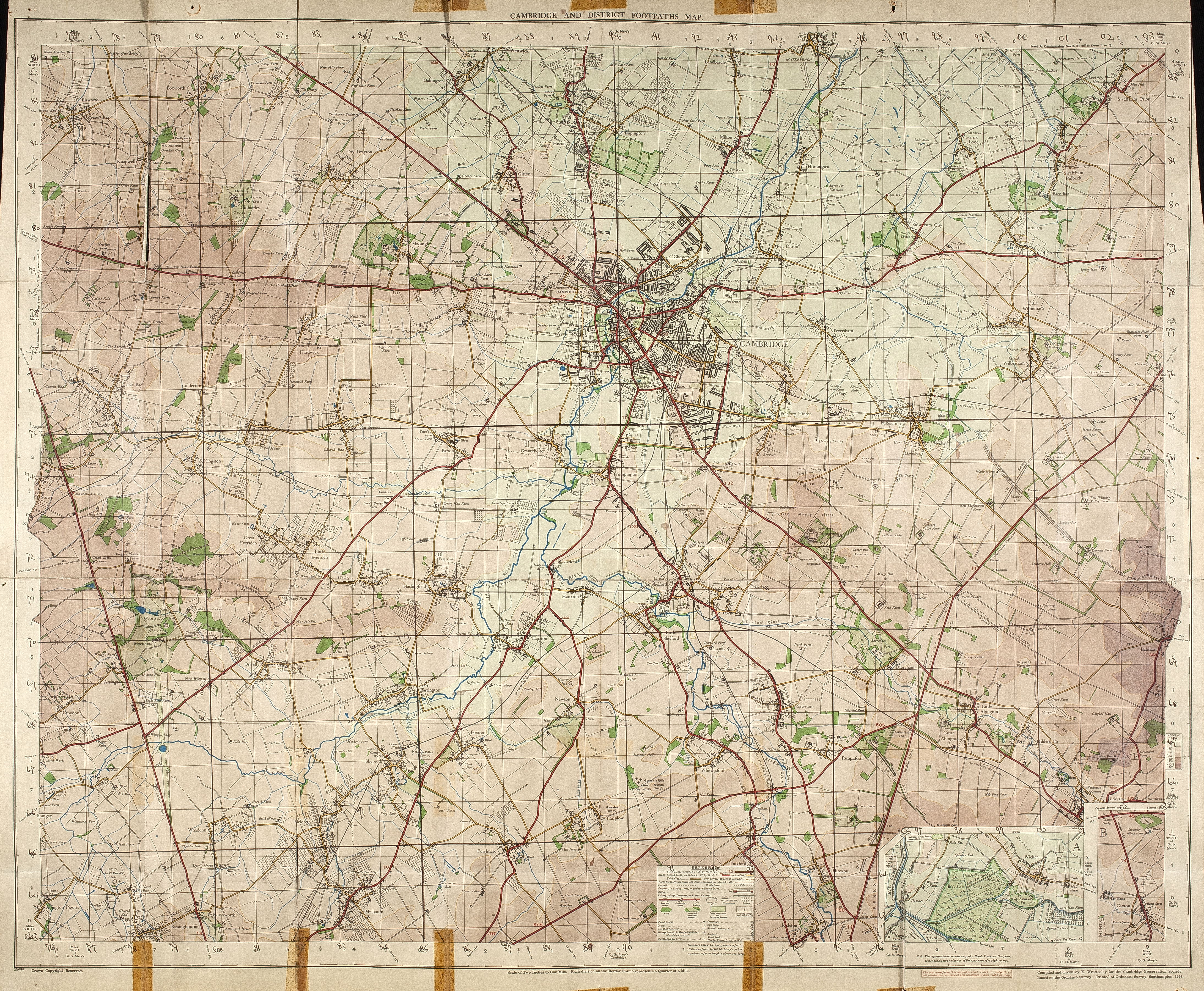
1936
Map of Cambridgeshire & District Footpaths, with inserts for Wicken Fen and Caxton. Sc. 2 miles to 1 in. Compiled and drawn by E. Wrottesley for the Cambridge Preservation Society., based on the Ordnance Survey. Printed at the Ordnance Survey, Southampton, 1936.
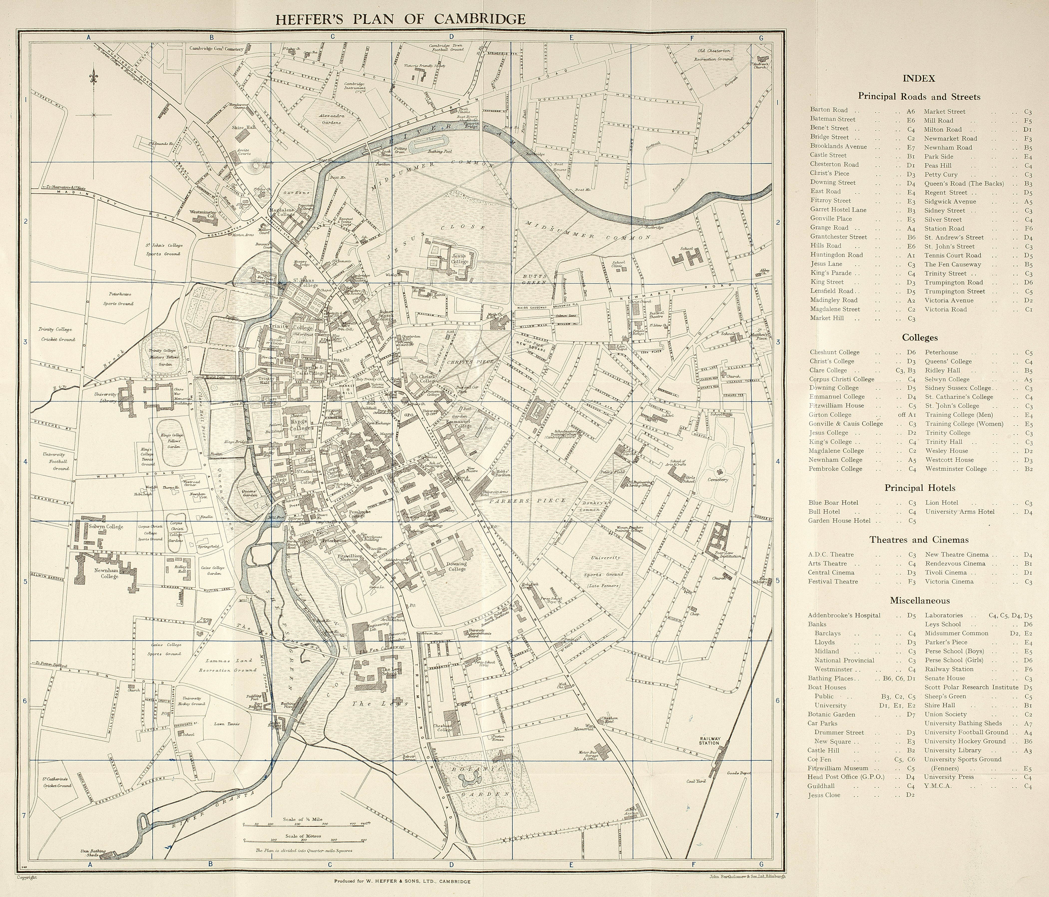
1937
Map of Cambridge. Heffer. Sc.6 in. to 1 mile. c. 1937.
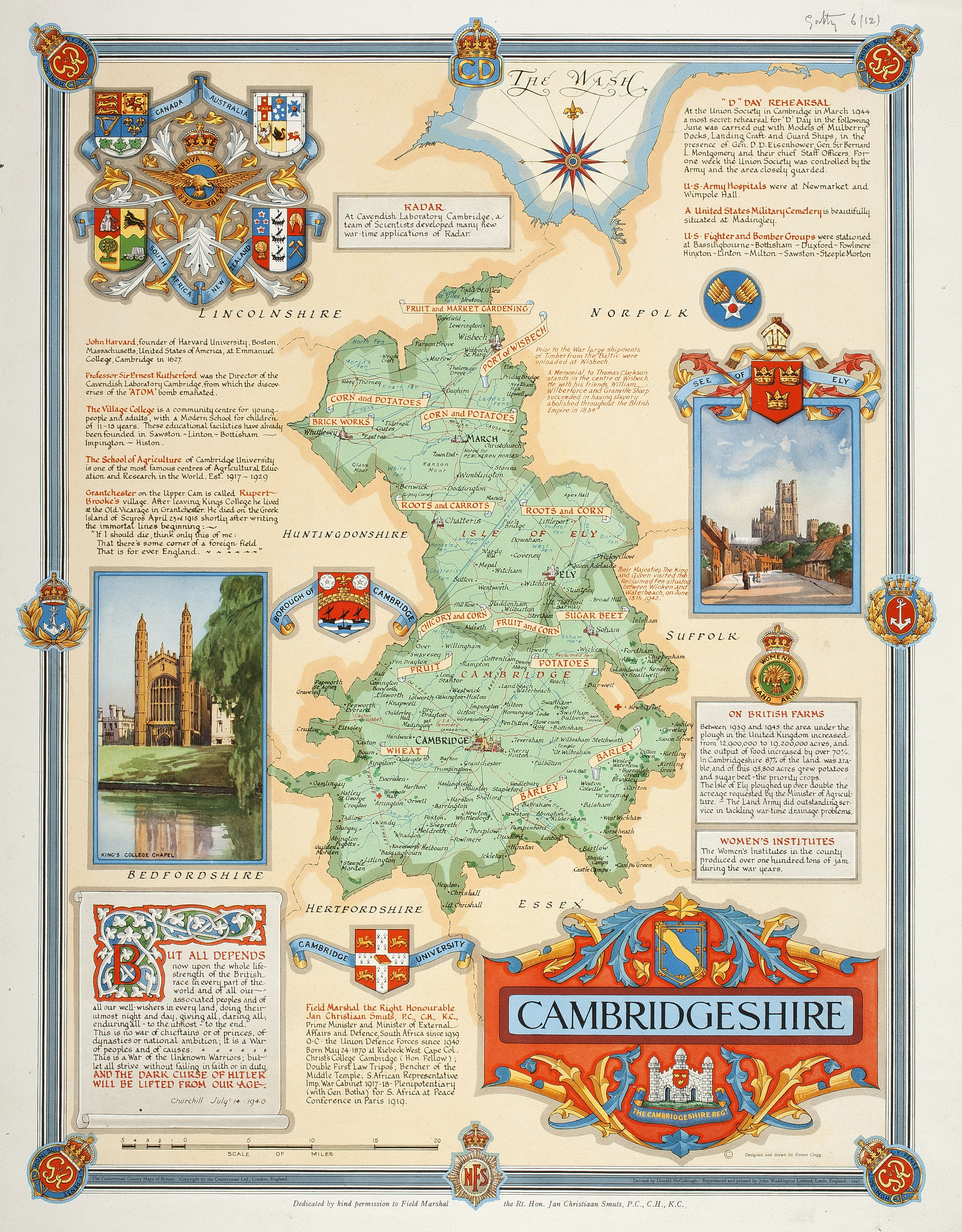
1947
Map of Cambrideshire [1947]. E. Cleff. Sc. 1 1/8 inches to 5 miles. 49 x 37 cm. Countryman County Maps. Dedicated to General Smuts. A coloured map of the 1939-45 war, showing various crops raised in the county, etc.
