
17th Century Maps
17th Century Maps

1607
Map of Cambridgeshire. Cambridge comitatus quem olim ceni inserderunt [1607 ?] C. Saxton; W. Kip. 25 x 32 cm. From Camden’s Britannia. (FORDHAM 108)
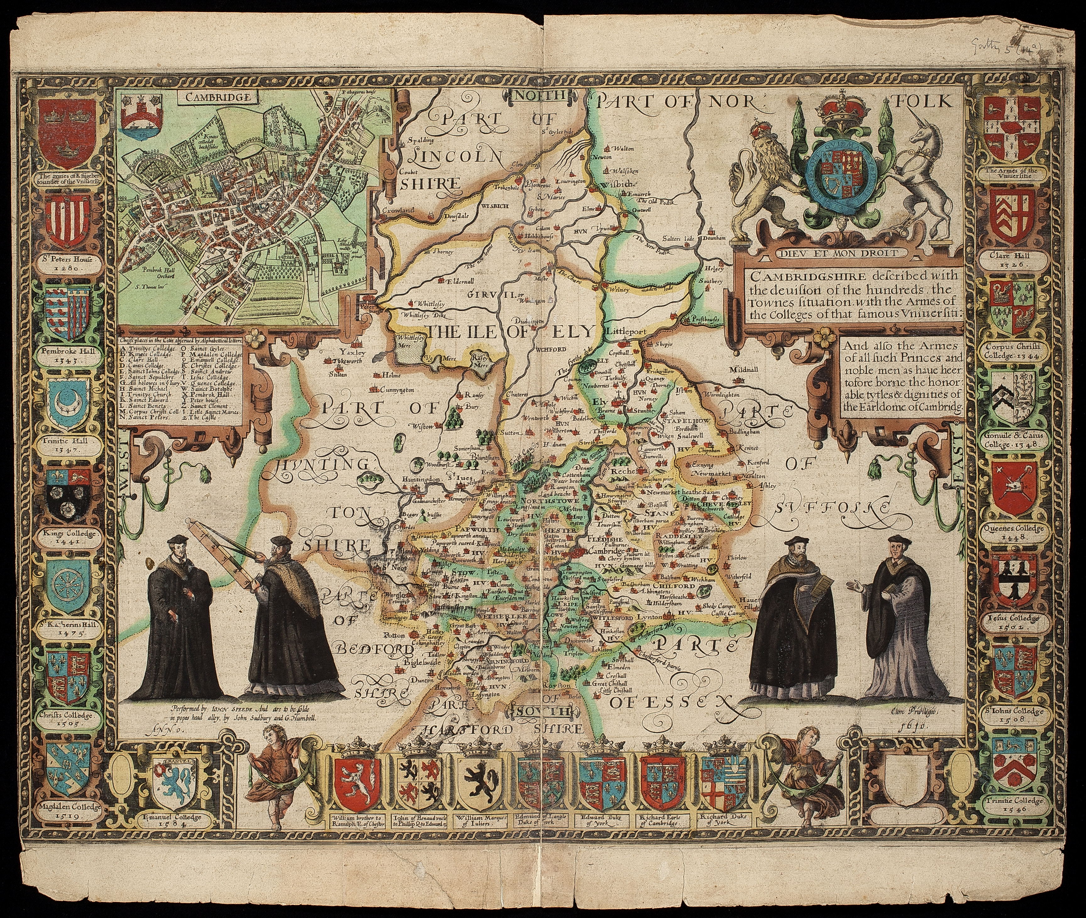
1610
Map of Cambridgeshire. Cambridgeshire described with the division of the hundreds … with the Armes of the Colleges & such princes. .. as has borne the … Earldome of Cambridge. 1610. English text at back. Inset map of Cambridge. John Speede, Theatre of the Empire of Great Britaine. Sc. 3 miles to 1 inch. 37 x 57 cm. (FORDHAM 108)
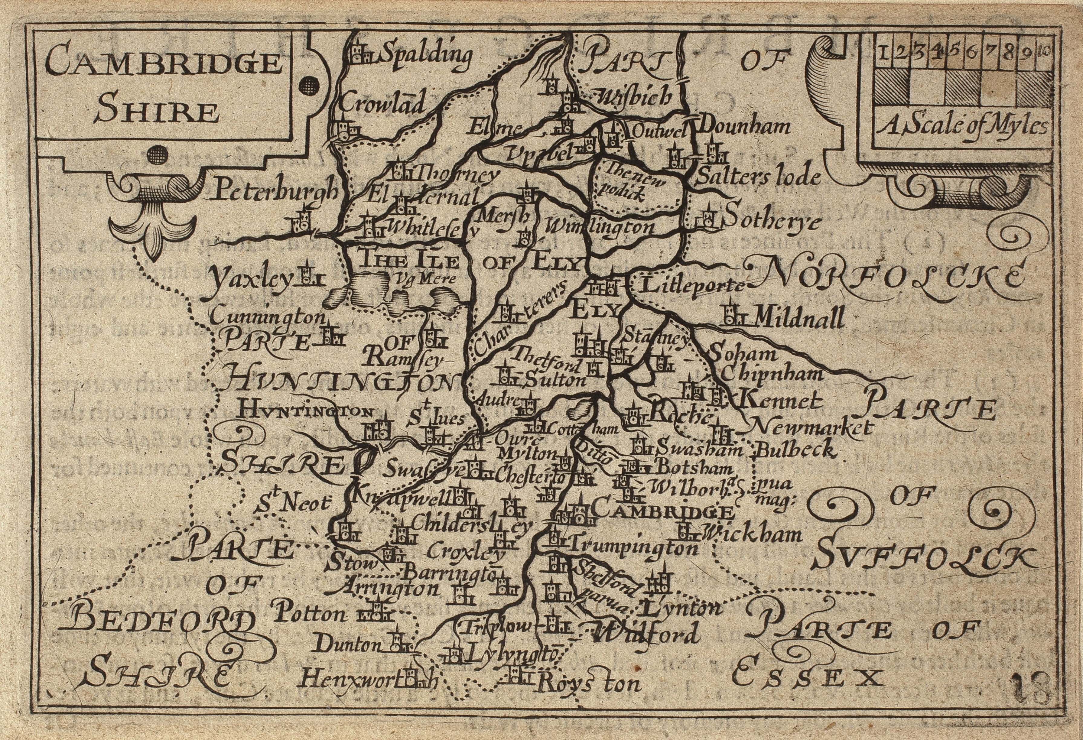
1620
Map of Cambridgeshire, John Speed 1620 (?). From ‘England Wales Scotland and IreLand Described.’ Fordham 113-114.
More Information
Your content goes here. Edit or remove this text inline or in the module Content settings. You can also style every aspect of this content in the module Design settings and even apply custom CSS to this text in the module Advanced settings.

1632
Map of Cambridgeshire. Cantabrigiensis Comitatus descriptio [1632] [with Camden’s text in German on back].Sc. 6 2/3 miles to 1 inch. 13.5 x 18 cm.
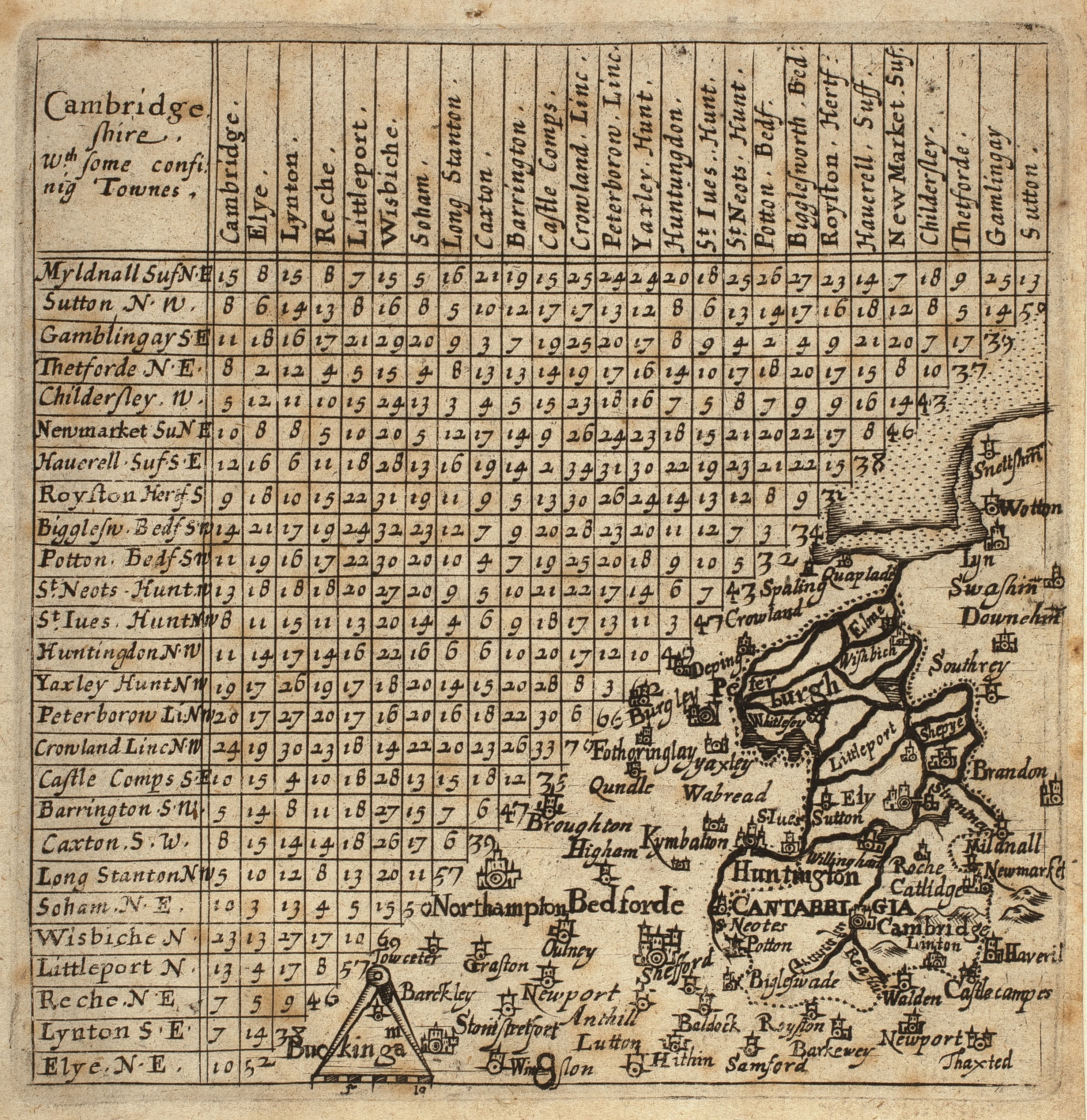
1643
Map of Cambridgeshire. Cambridgeshire . . . small map with table of distances [1643]. Thomas Jenner. From Direction for the English Traviller. Sc. about 20 mile =1 inch. 10.2 x10 cm. (FORDHAM 117)
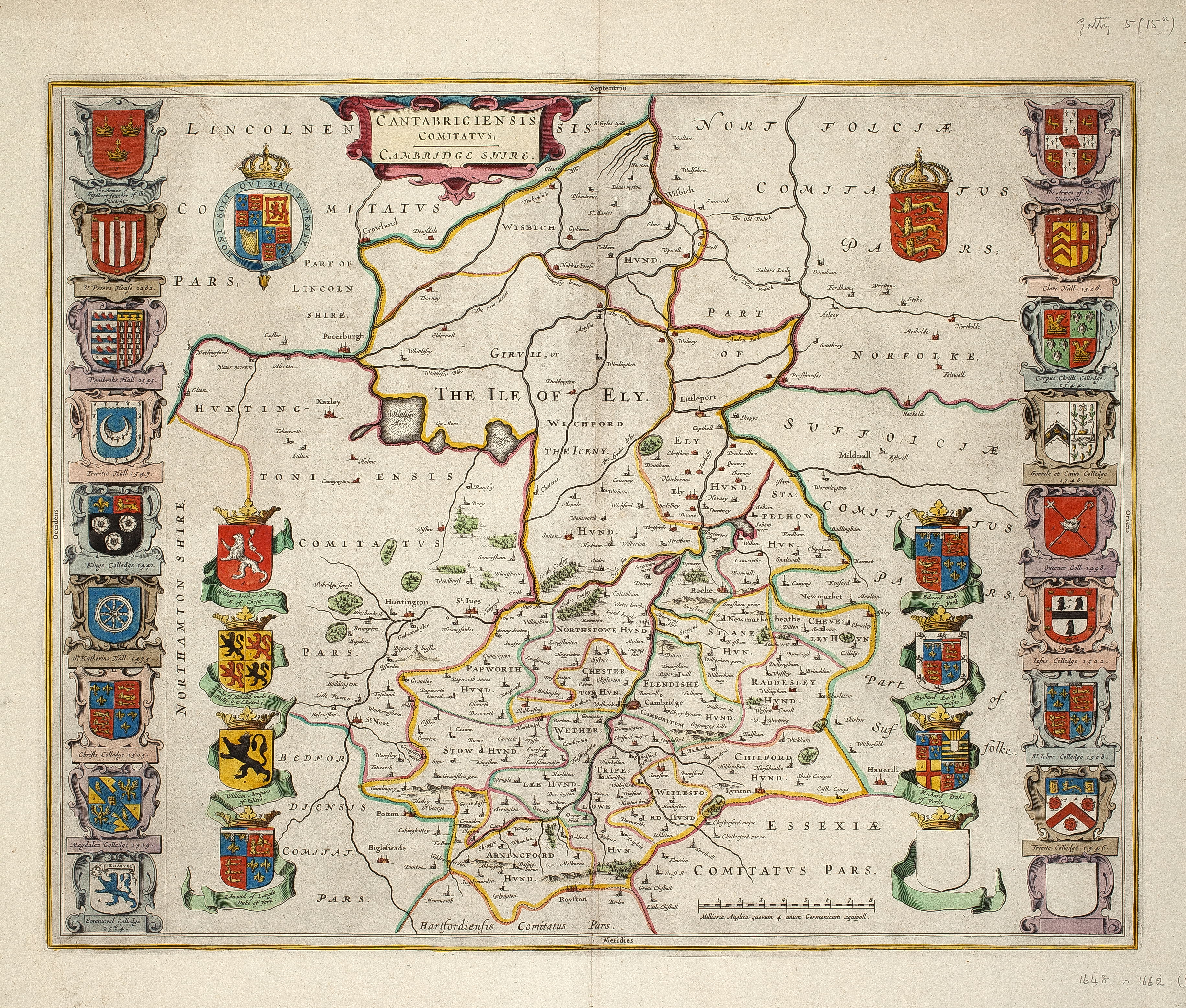
1648 or 1662
Map of Cambridgeshire. Coloured with Latin text from Camden [1648 or 1662]
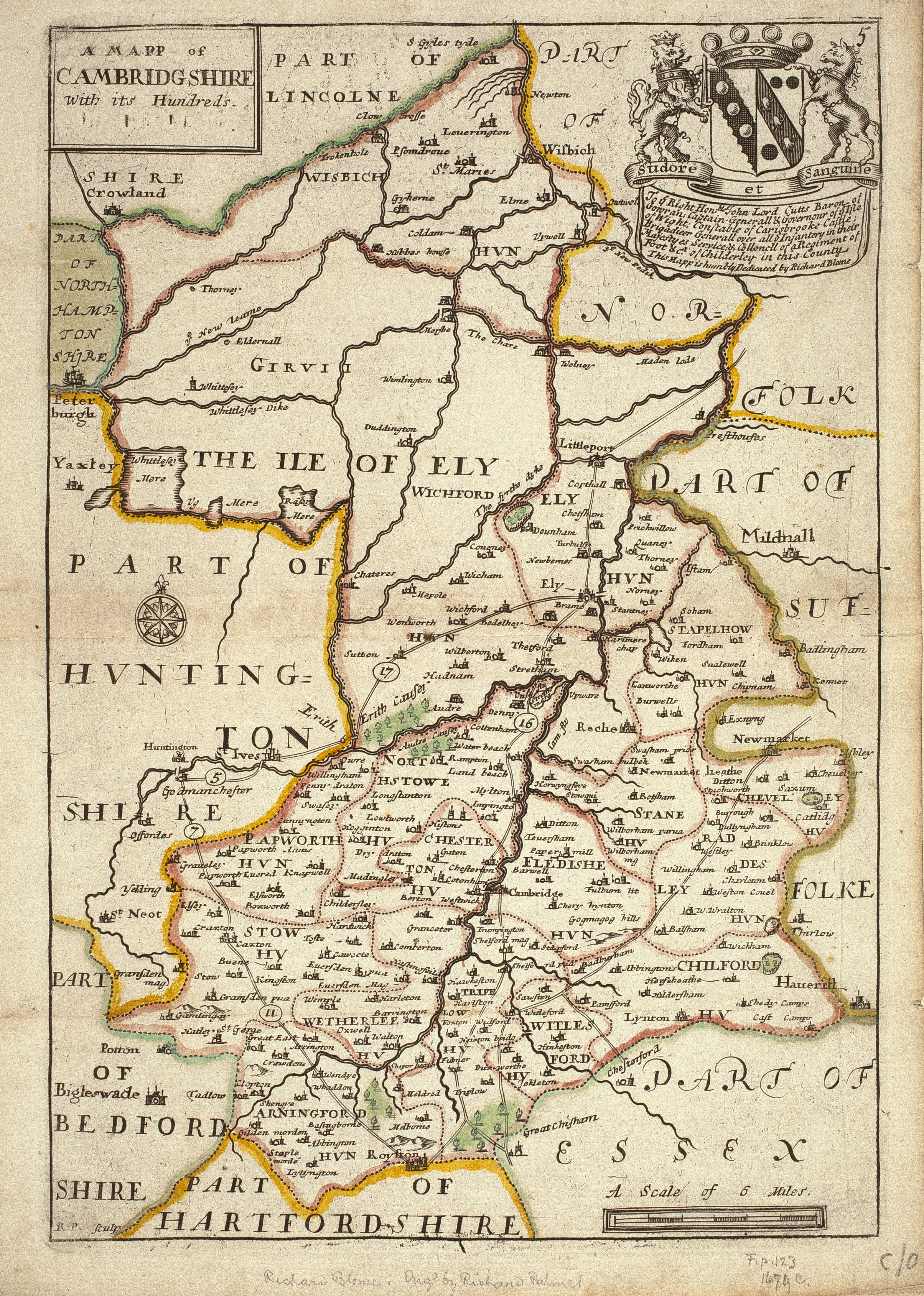
1671
Map of Cambridgeshire with its Hundreds. 1671. Dedicated to John, Lord Cutts. R. Palmer, engr. Richard Blome, publ. Sc. 4 miles to 1 inch. 25 x 17 cm. (FORDHAM 123)
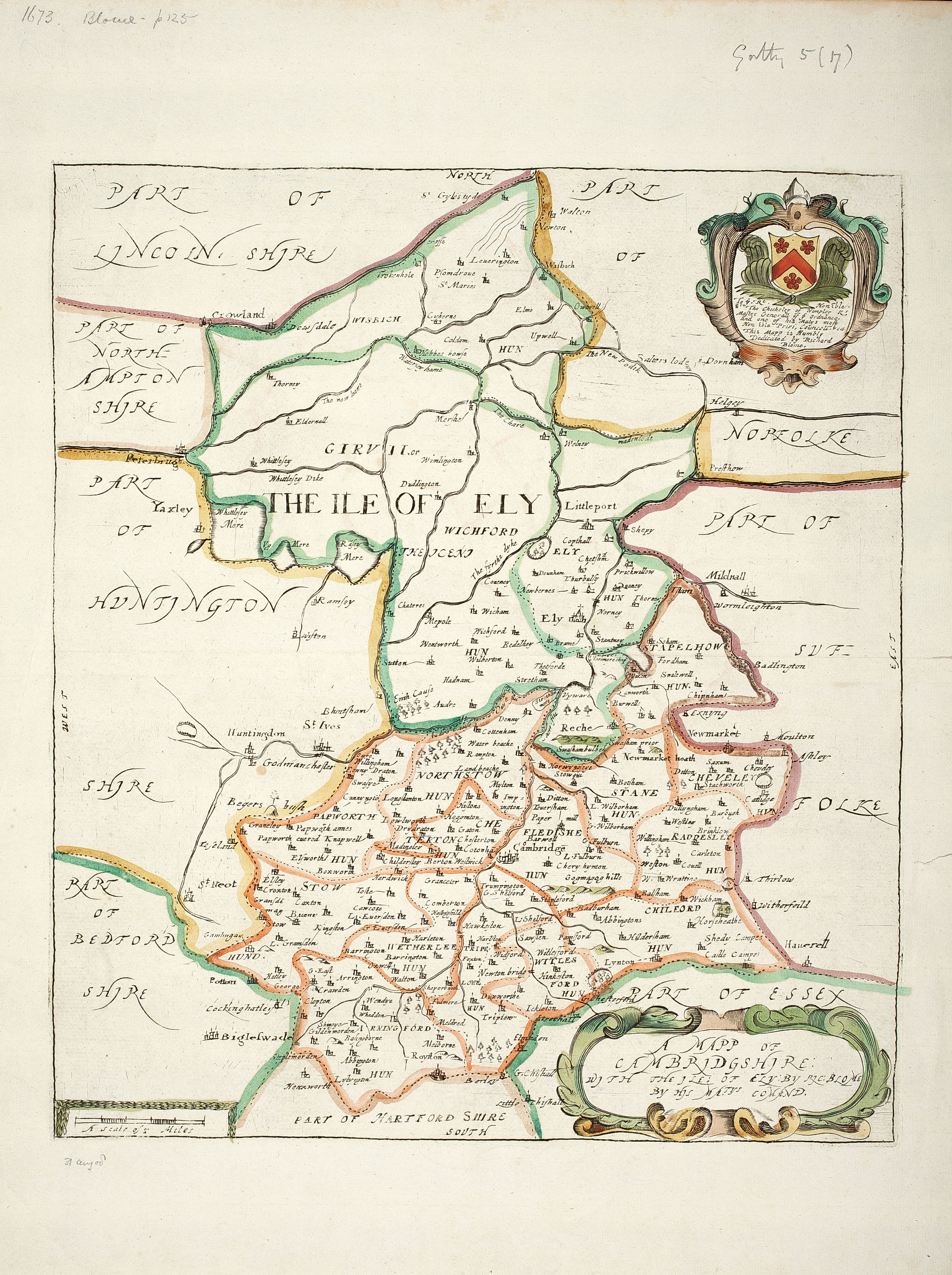
1673
Map of Cambridgeshire: with the Ile of Ely [1673]. Dedicated to Sir Thomas Chicheley. Richard Blome. Sc. 3 ½ miles to 1 inch. 30 x 26 cm. (FORDHAM 125-6)
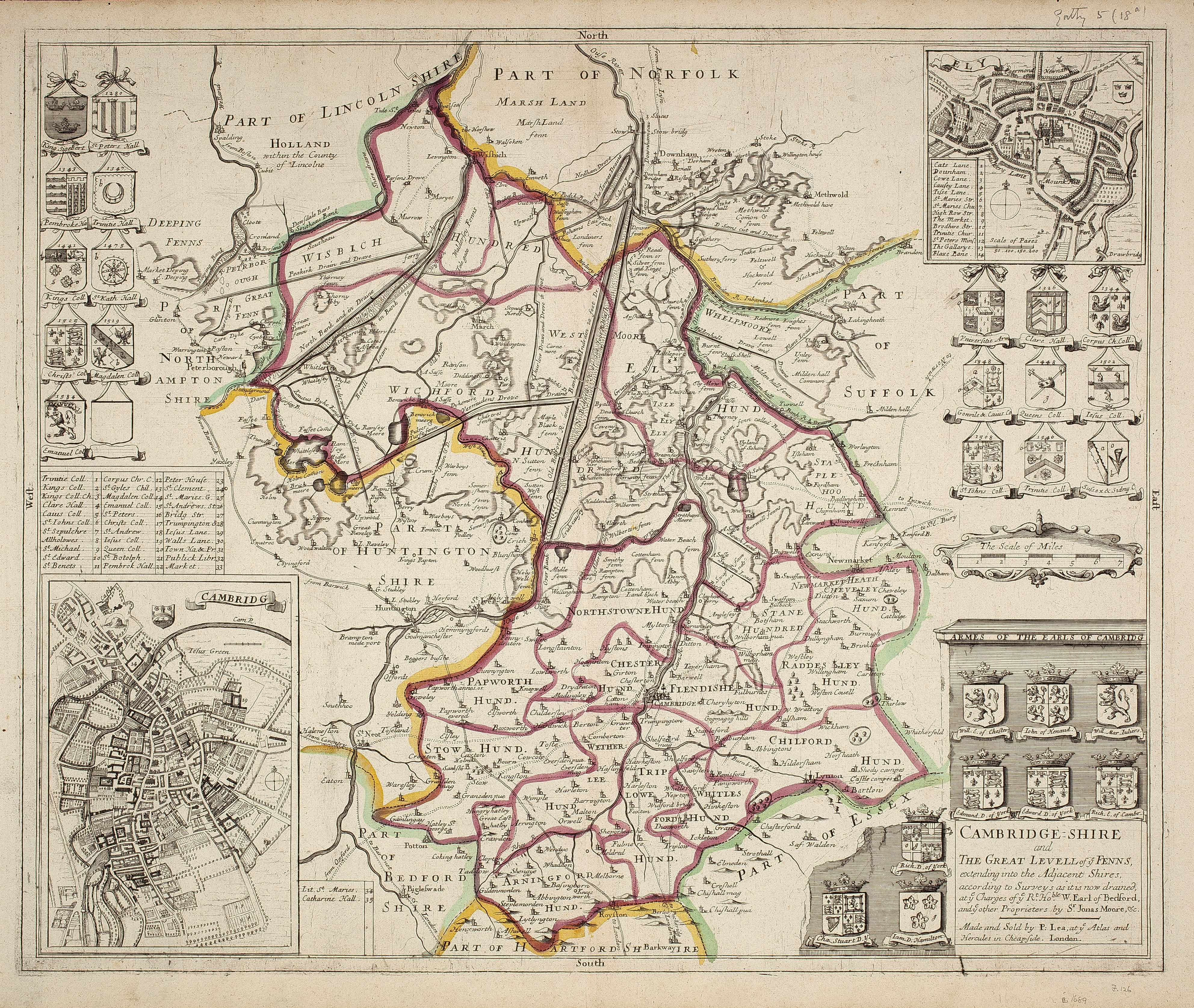
1689
Map of Cambridgeshire. Cambridgeshire and the Great Levell of ye Fenns. [c. 1689]. With inset maps of Cambridge & Ely. Sir Jonas Moore, sc. P.Lea. 35 x 46 cm. (FORDHAM 126-7)
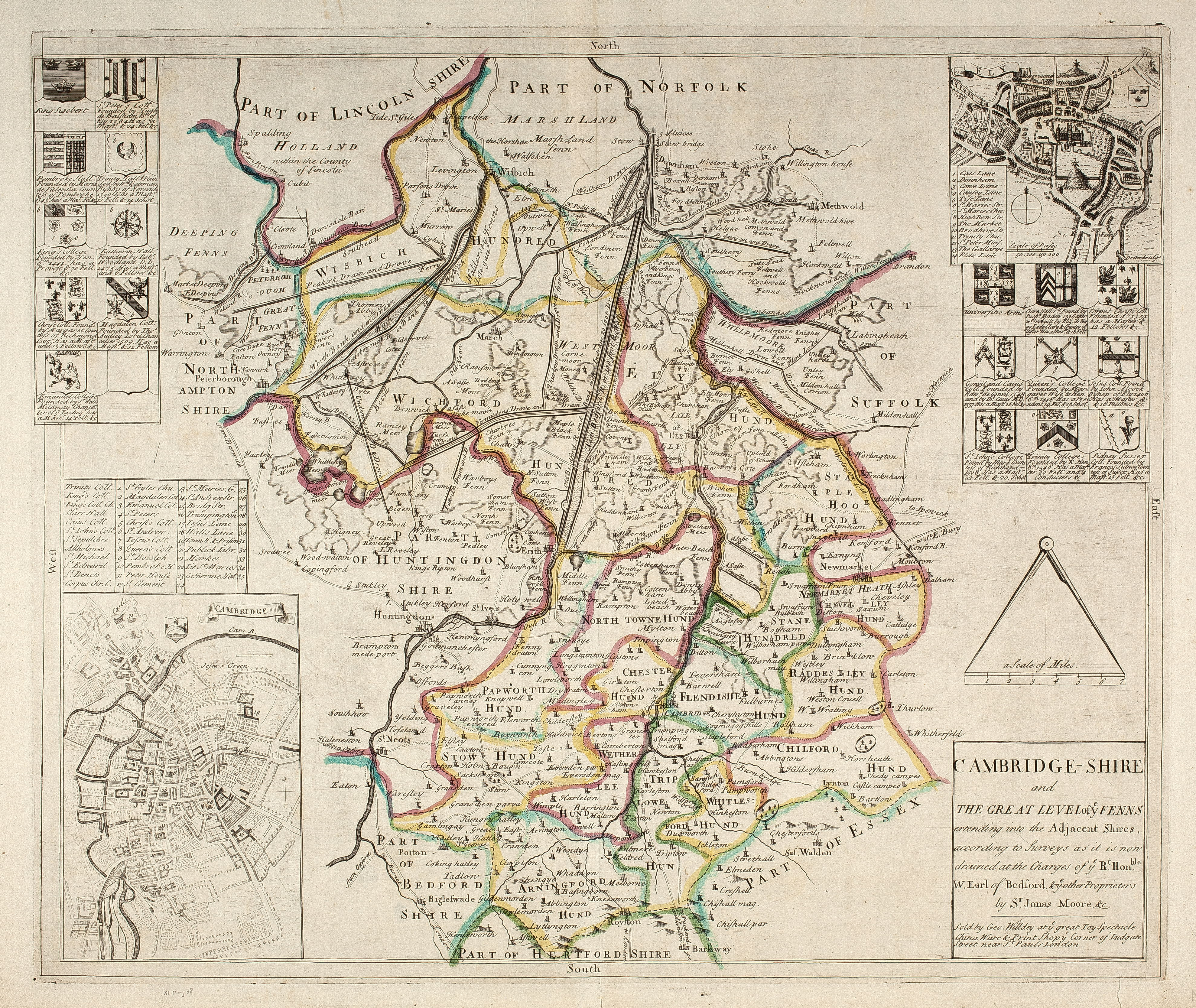
Map of Cambridgeshire. Cambridgeshire and the Great Level of ye Fenns [ n.d.]. With inset maps of Cambridge & Ely, & arms of some Colleges. Sc. About 3 miles to 1 inch. Sir Jonas Moore. Sold by Geo. Willday. 38 x 44 cm. Apparently reengraved from P. Lea’s map with omissions.
1695
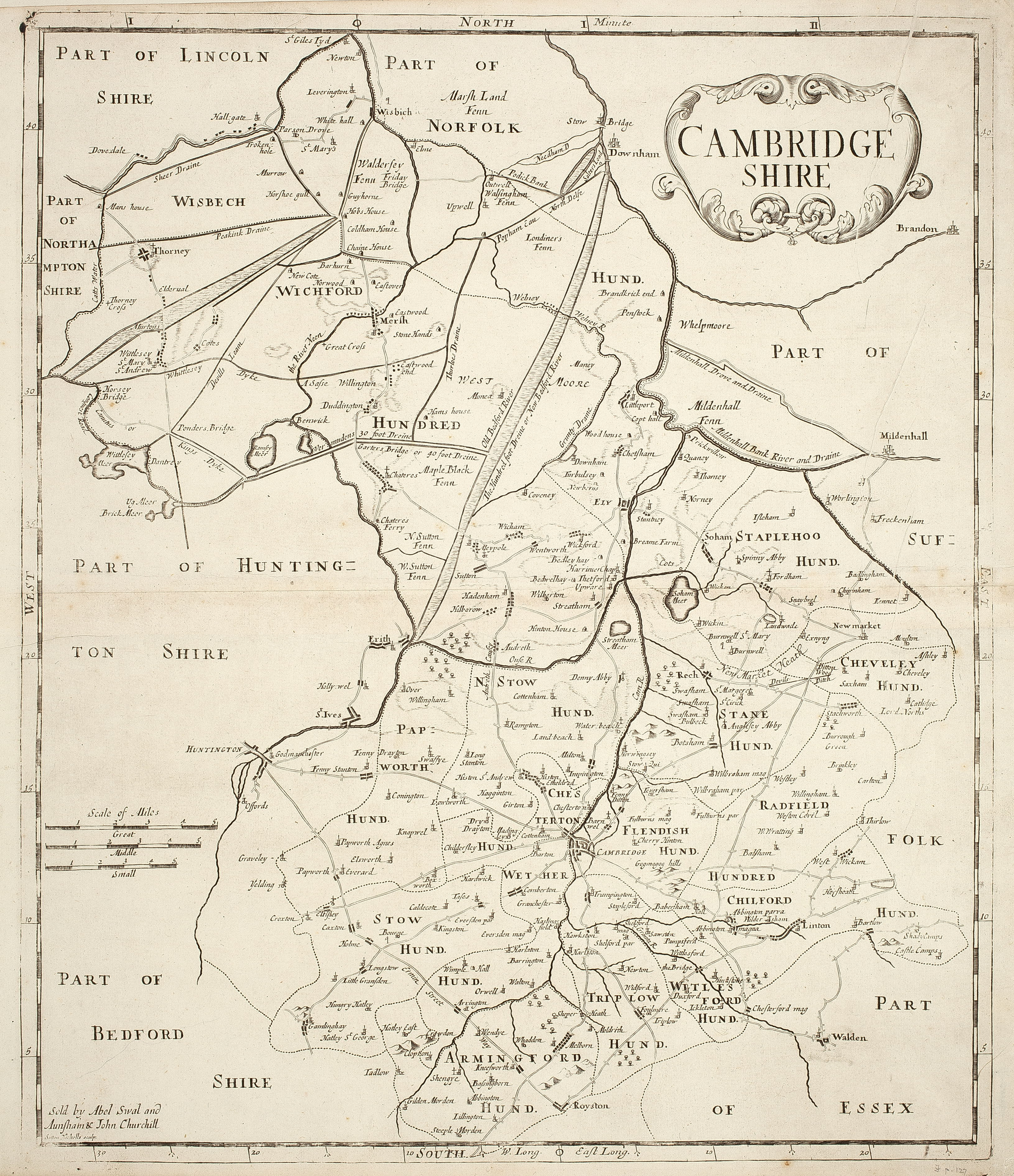
Map of Cambridgeshire. Cambridgeshire [1695] From Morden’s 1695 edition of Camden’s Britannia. S. Nicholls, Sc. Sc. 2 miles to 1 inch. 41 x 34 cm. (FORDHAM 127-8)
