
19th Century Maps
19th Century Maps

1800
Map of Cambridge. Plan, [c. 1800] s.i. Neele sc. 14 x 18.5 cm
1804
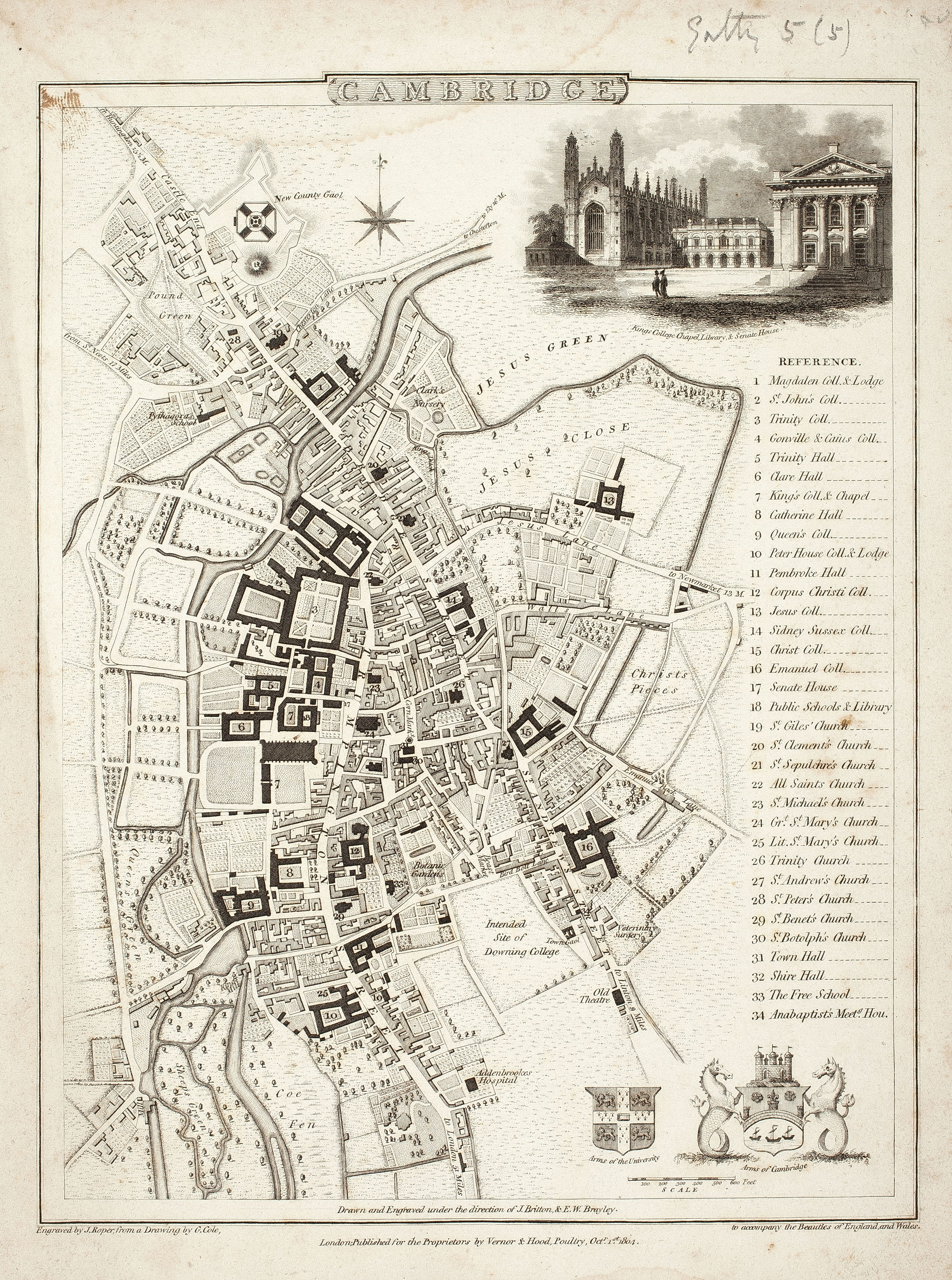
Map of Cambridge. Plan of town 1804 with references & inset of King’s Chapel, Library & Senate House. Engr. By J. Roper from drawing by G. Cole under the direction of J. Britton & E.W. Brayley ‘to accompany Beauties of England & Wales’. 22 x 17cm
1804
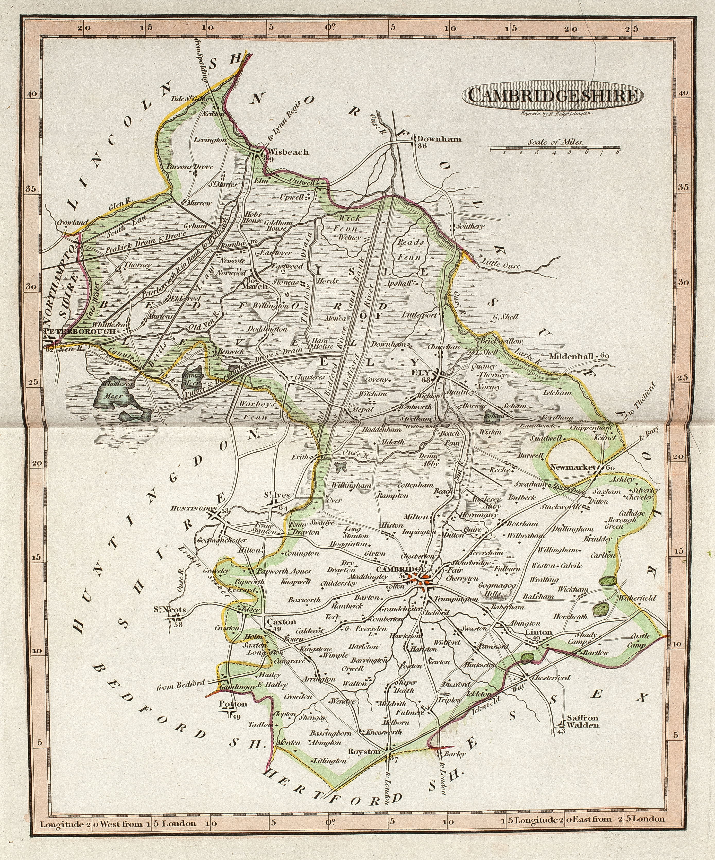
Map of Cambridgeshire from The English Atlas. 1804. Sc various. 20 x 17cm. Dorton & Harvey. Engraved byB Baker.

1808
Map of Cambridge. Plan of University & Town 1808 Neele sc. ; Cadell & Davis, pub. Lyson’s Magna Britannia vol. II. 23 x 18.5 cm.
1814
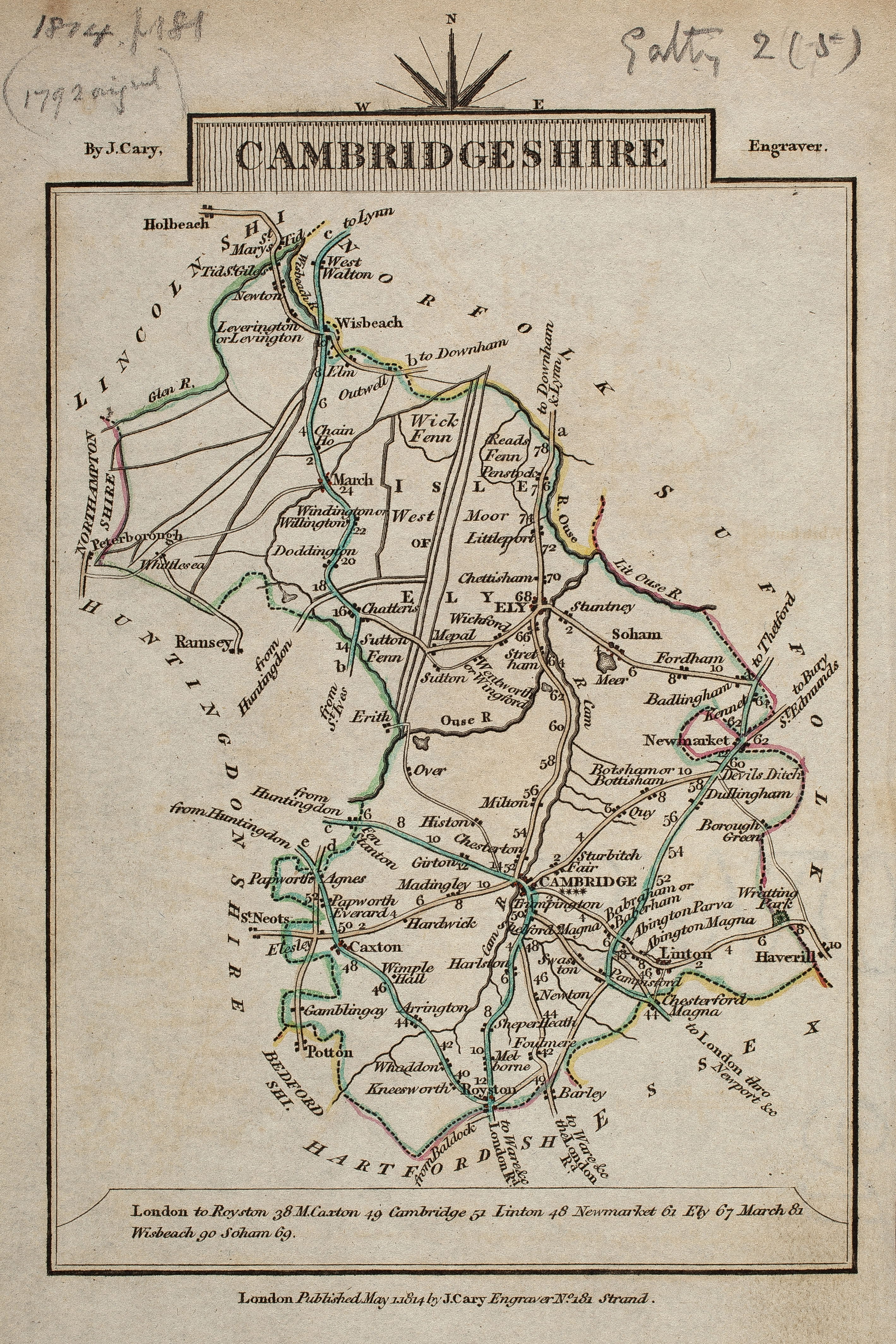
Map of Cambridgeshire. 1814. J. Cary. 12.2 x 9 cm. Reprinted from the small atlas of 1792 entitled Cary’s Travelling Companion.
1817
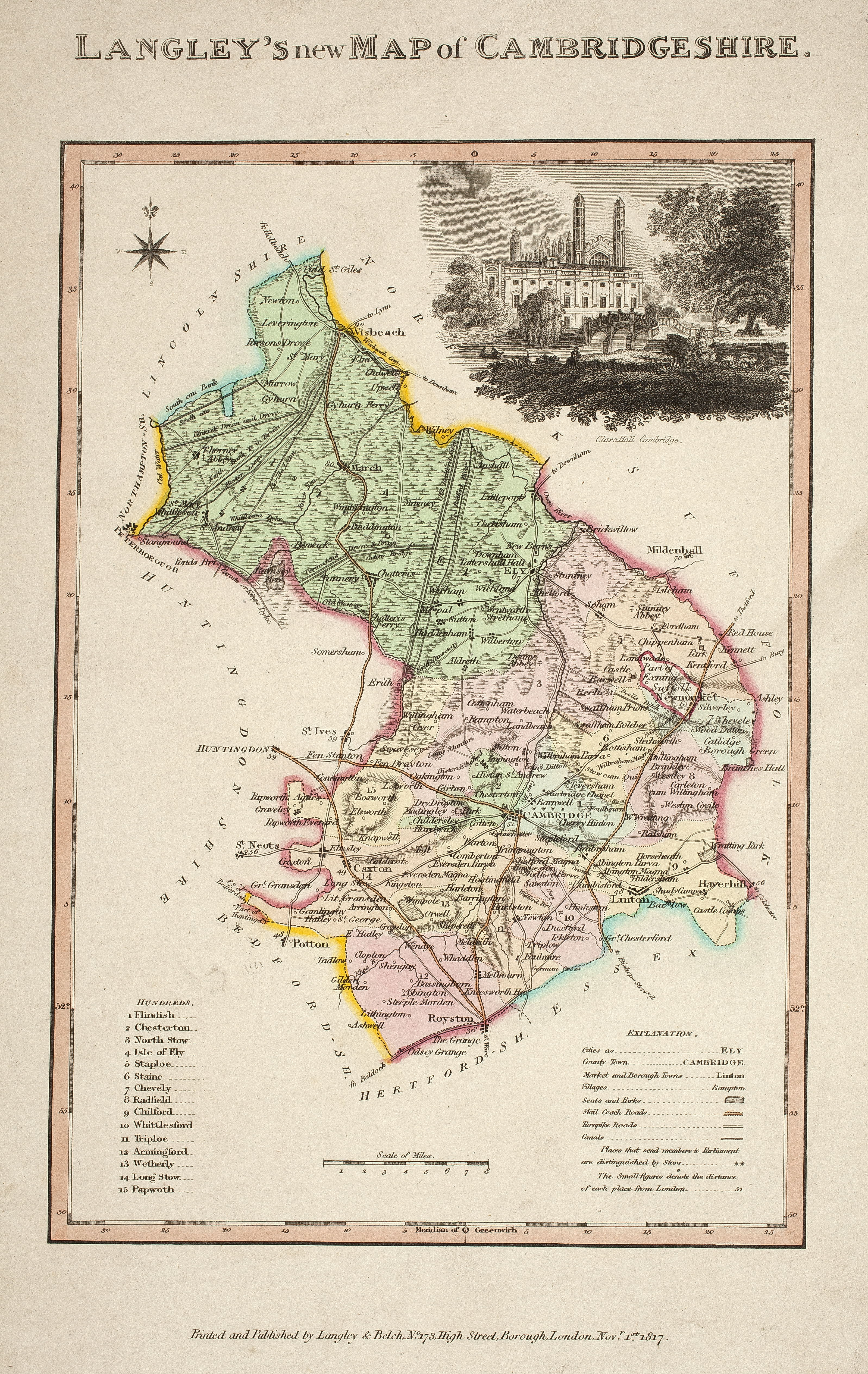
Langley’s New Map of Cambridgeshire. 1817. Inset engraving of Clare Hall. Coloured. Langley & Belch prin & publ.. Sc about 5 miles to 1 inch. 24 x 16.5 cm. (FORDHAM 170)
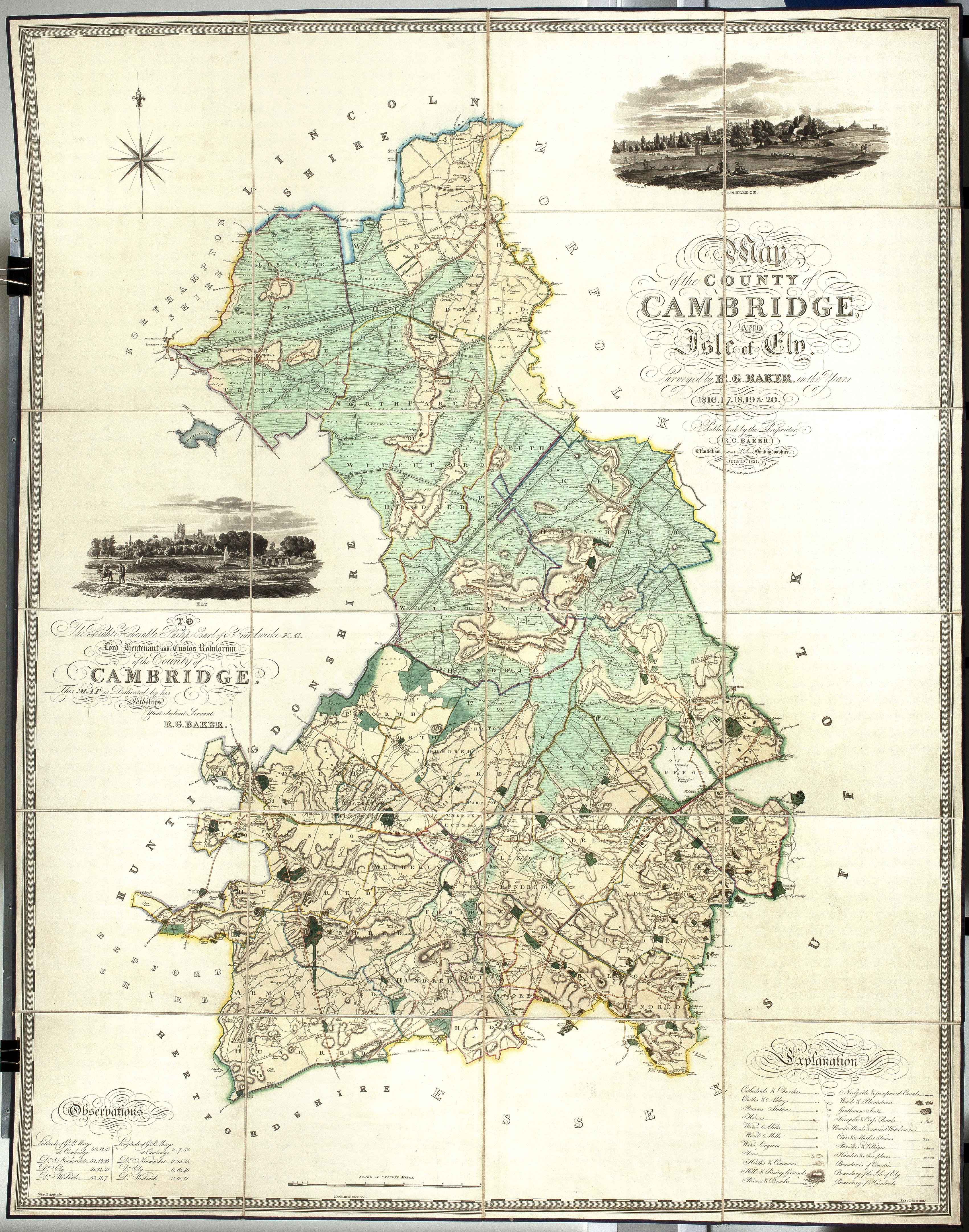
1821
Map of Cambridgeshire. County & Isle of Ely, surveyed by R.G. Baker, 1821. R.G. Barker, publ., J. Allen, engr. Sc. 1 mile to 1 inch. 156 x 120 cm. Contains 2 engravings, views of Cambridge & Ely. Mounted on linen in slip case. (FORDHAM 173-4)
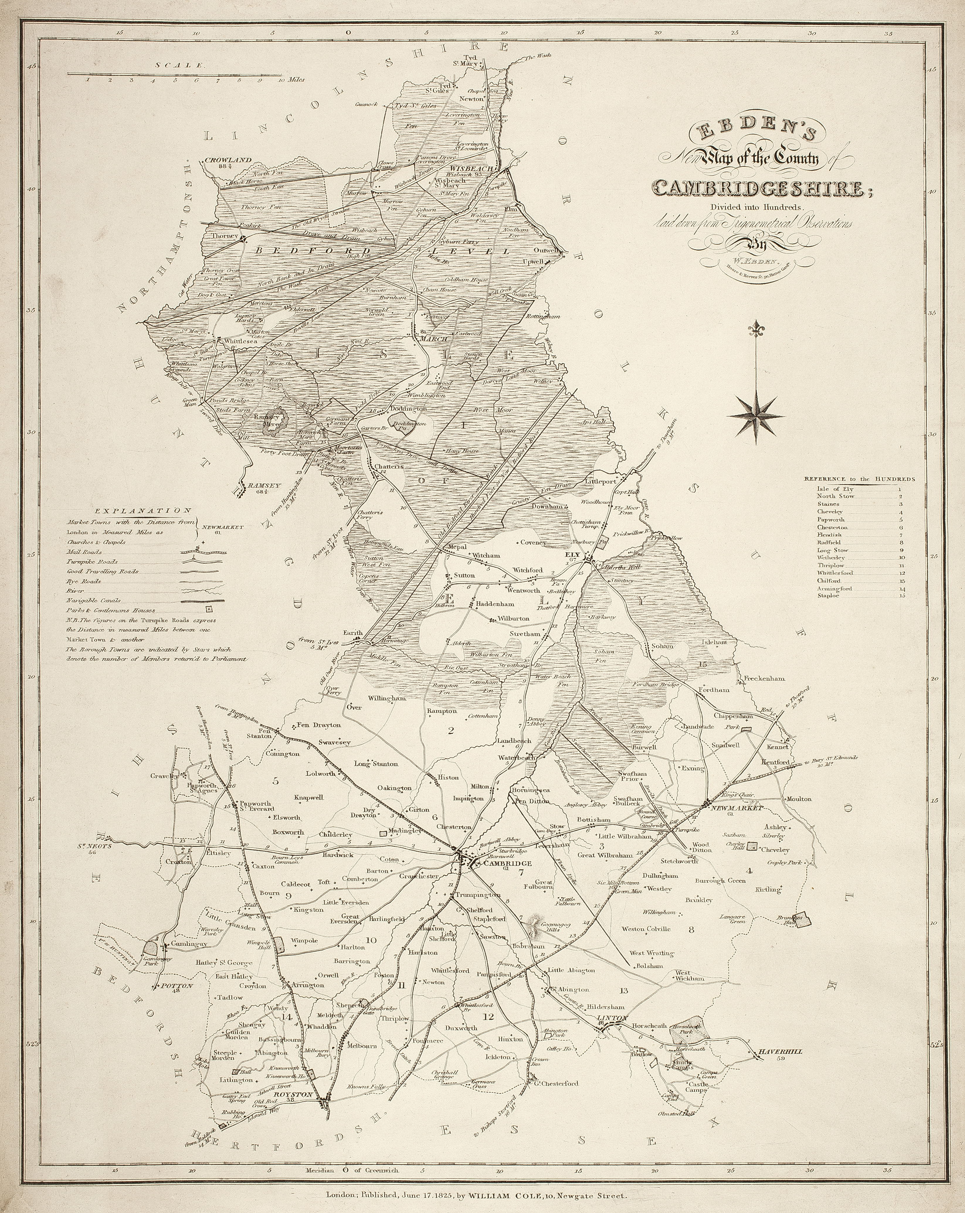
1825
Ebden’s New Map of Cambridgeshire from trigonometrical observations. 1825. W. Ebden & W. Cole. Sc. about 3 miles to 1 inch. 41.5 x 32.5 cm.
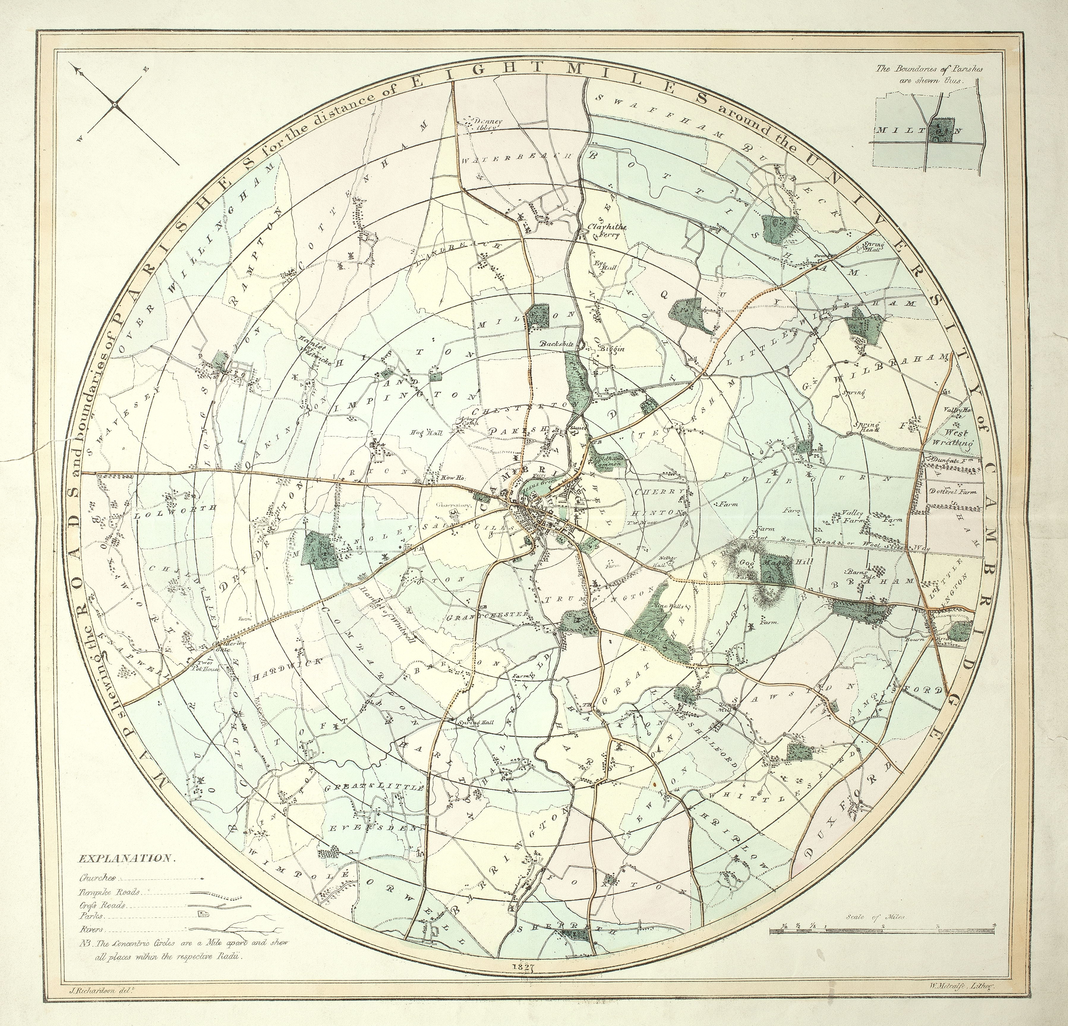
1827
Circular map of Cambridgeshire, centered on Cambridge shewing the Road & Boundaries of Parishes for 8 Miles round the University of Cambridge. 1827. J. Richardson. W. Metcalfe, lithog. Circular map. Sc. 1 ¼ miles to 1 inch. 60 x 60 cm.
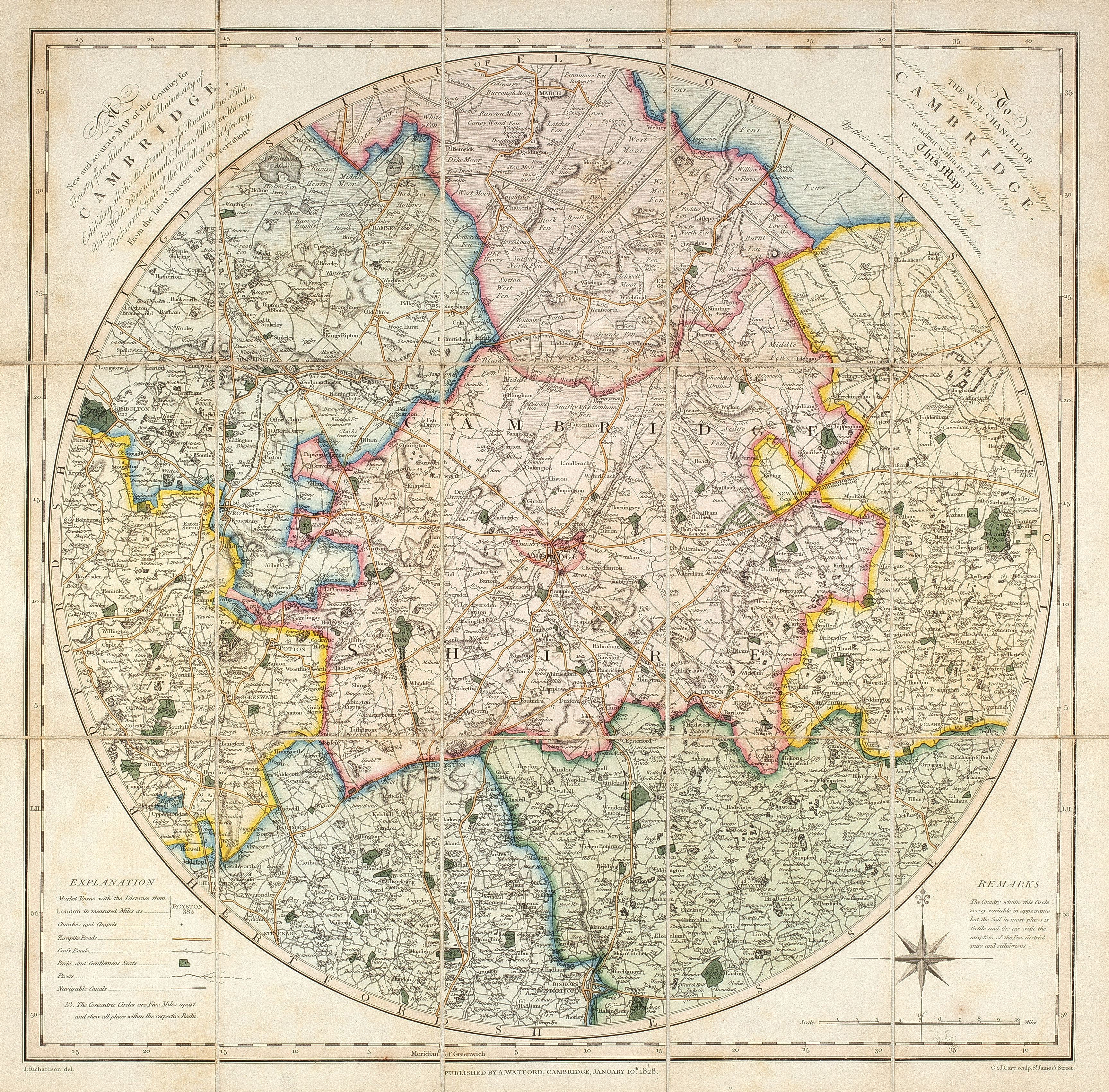
1828
Map of 25 Miles round Cambridge. 1828. J. Richardson. Sc. 4 miles to 1 inch. Circular, 42 x 42 cm.
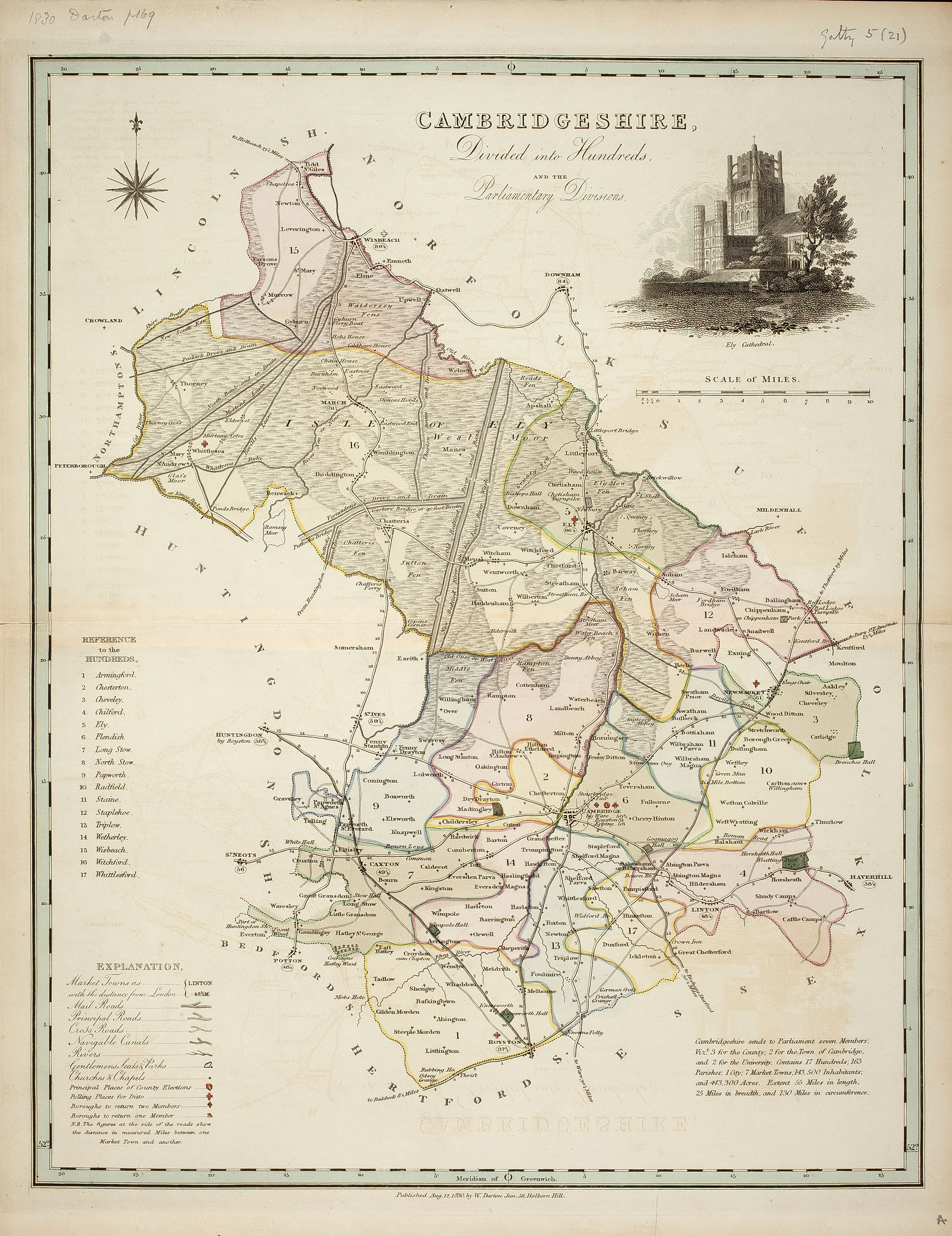
1830
Map of Cambridgeshire. 1830. W. Darton [?] publ. Sc. 3 miles to 1 inch. 43 x 33.5 cm. Apparently a reprint with variations of T. Dix’s map of 1816.
1831
Map of Cambridgeshire 1831. Hoare & Reeves fc. T.L. Murray publ. 44 x 33.5 cm. From Atlas of English Counties. (FORDHAM 179)
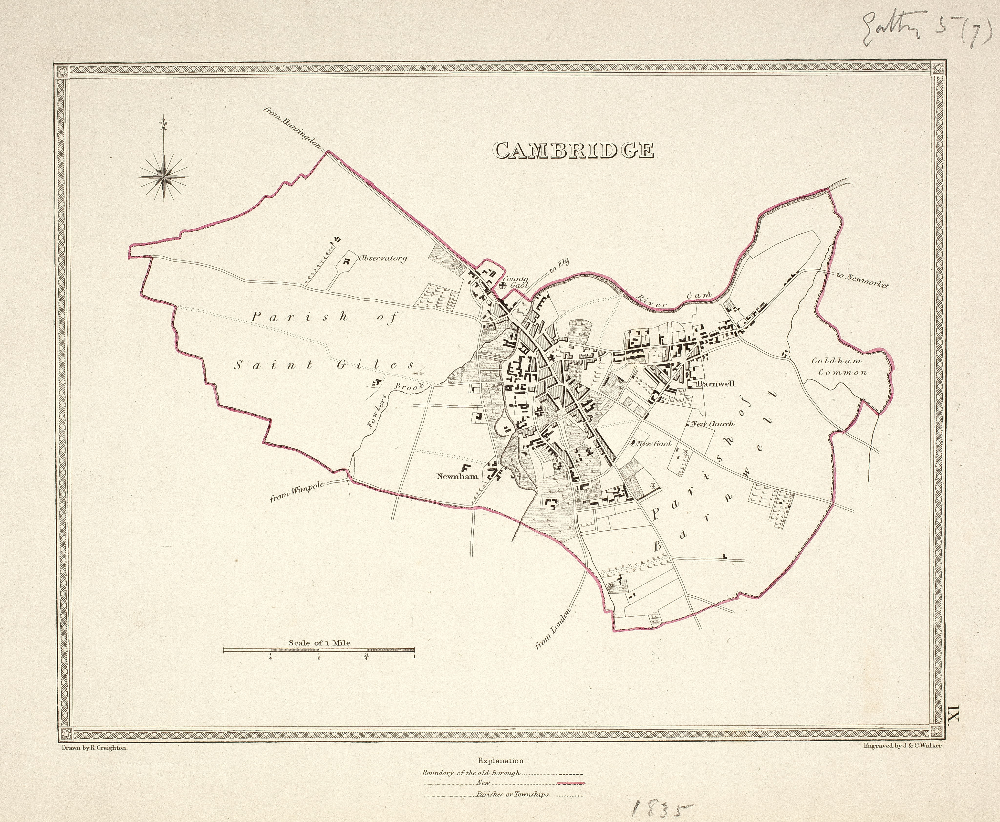
1835
Map of Cambridge. Plan of Town [1835]. Sc. 2 inches to 1 mile. R. Creighton, dr. J & C Walker —? ?? size??
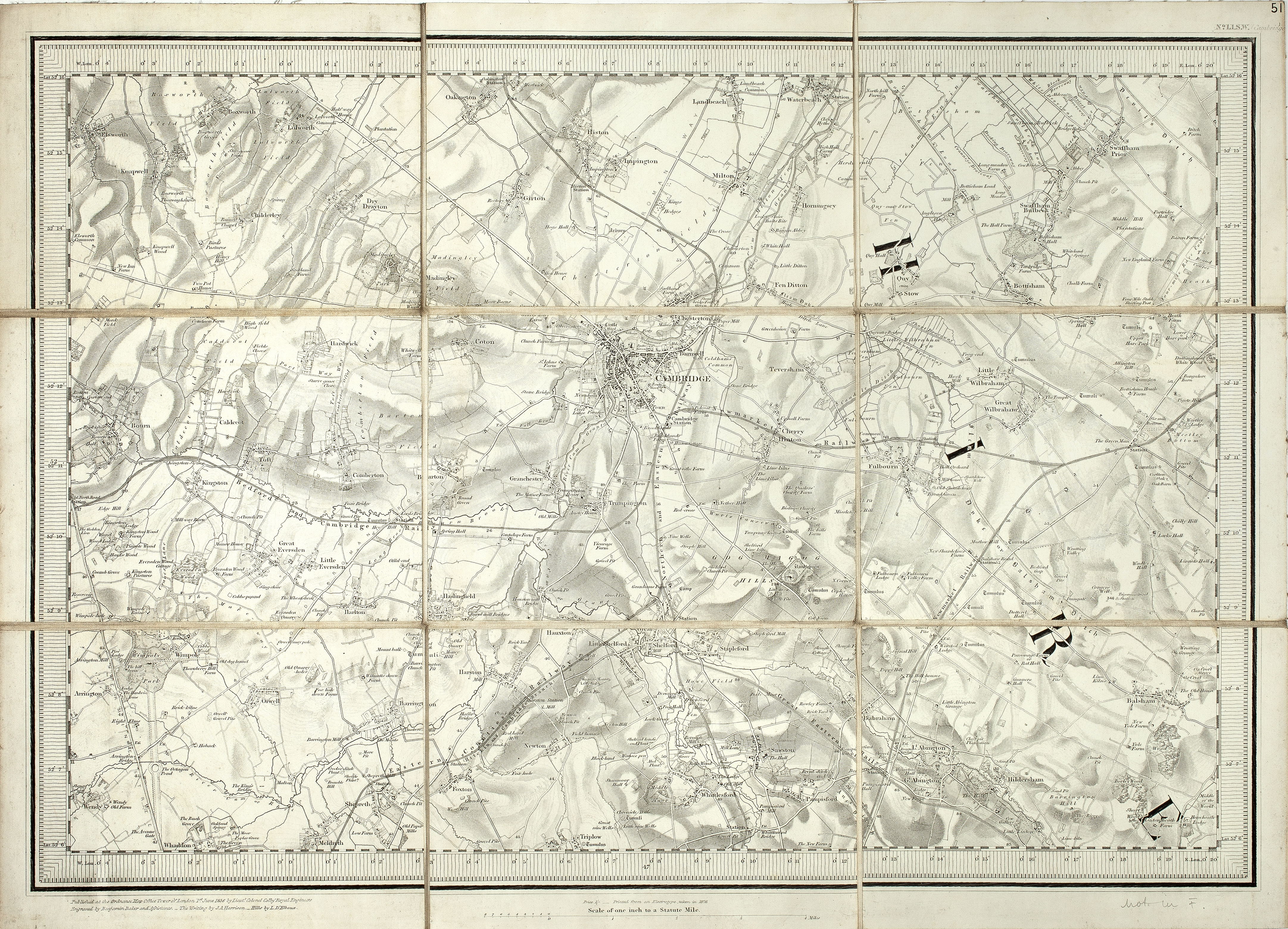
1836
Map of Cambridgeshire (part covering south of County from Landbeach (N) to Meldreth (S), and Bourn (W) to Balsham (E)). 1836. O.S. 1 inch Map, Cambs. (Sheet 51 Sw) Sc. 1 inch to 1 mile. 32 x 47 cm (reprinted from an electrotype in 1876)
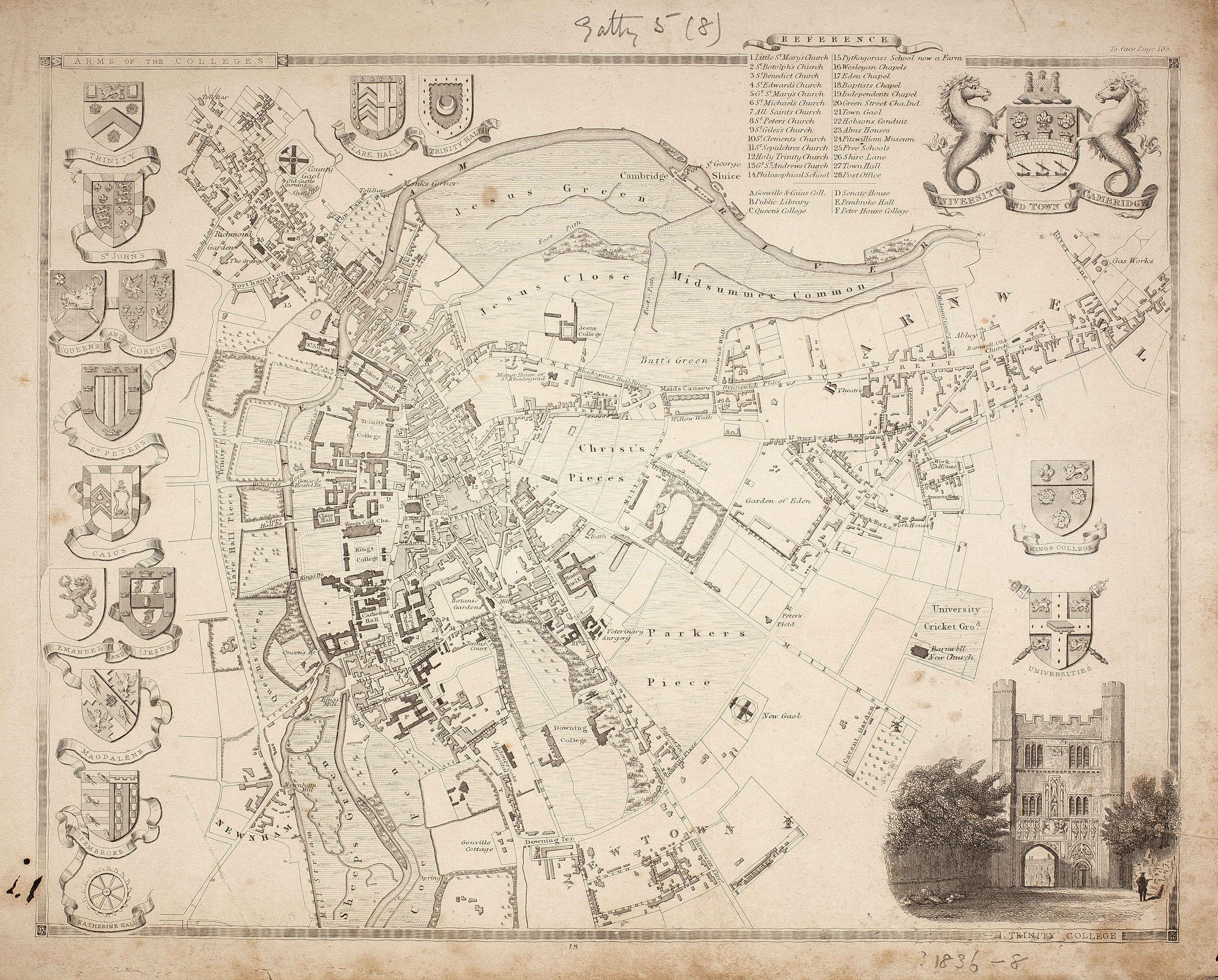
1836 or 1838
Map of Cambridge. Plan of town with arms of colleges etc [1836 or 1838?]. Inset Trinity College. From Moule’s Eng. Topographer or English Counties ???? .W. Schnoll… engr. 19 x 25 cm. (FORDHAM 188)
1840
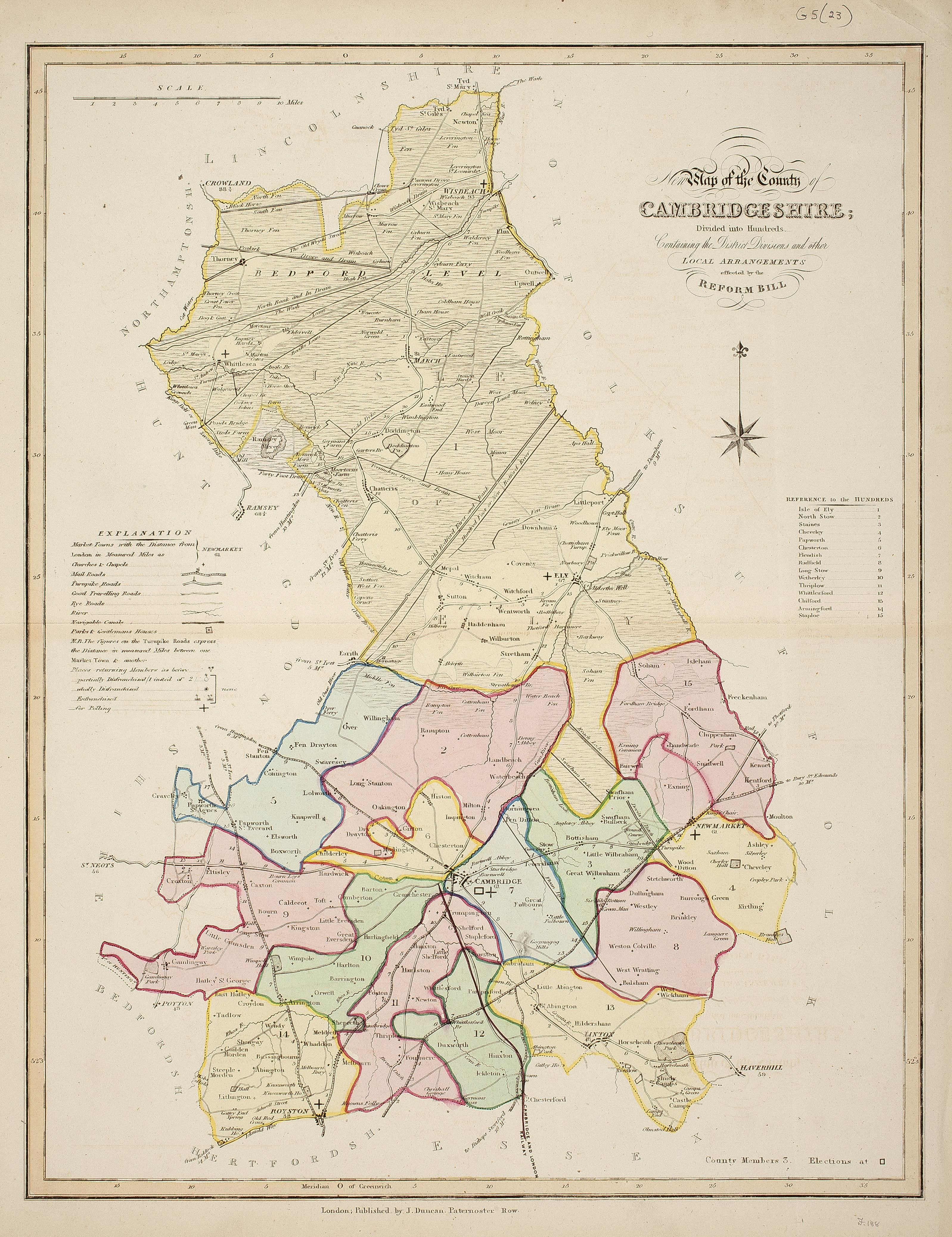
Map of Cambridgeshire, containing the district divisions and other Local Arrangements effected by the Reform Bill. [?1840]. J. Duncan, pub’. 42 x 32.5 cm. From Complete County Atlas. (FORDHAM 188-9)
1843
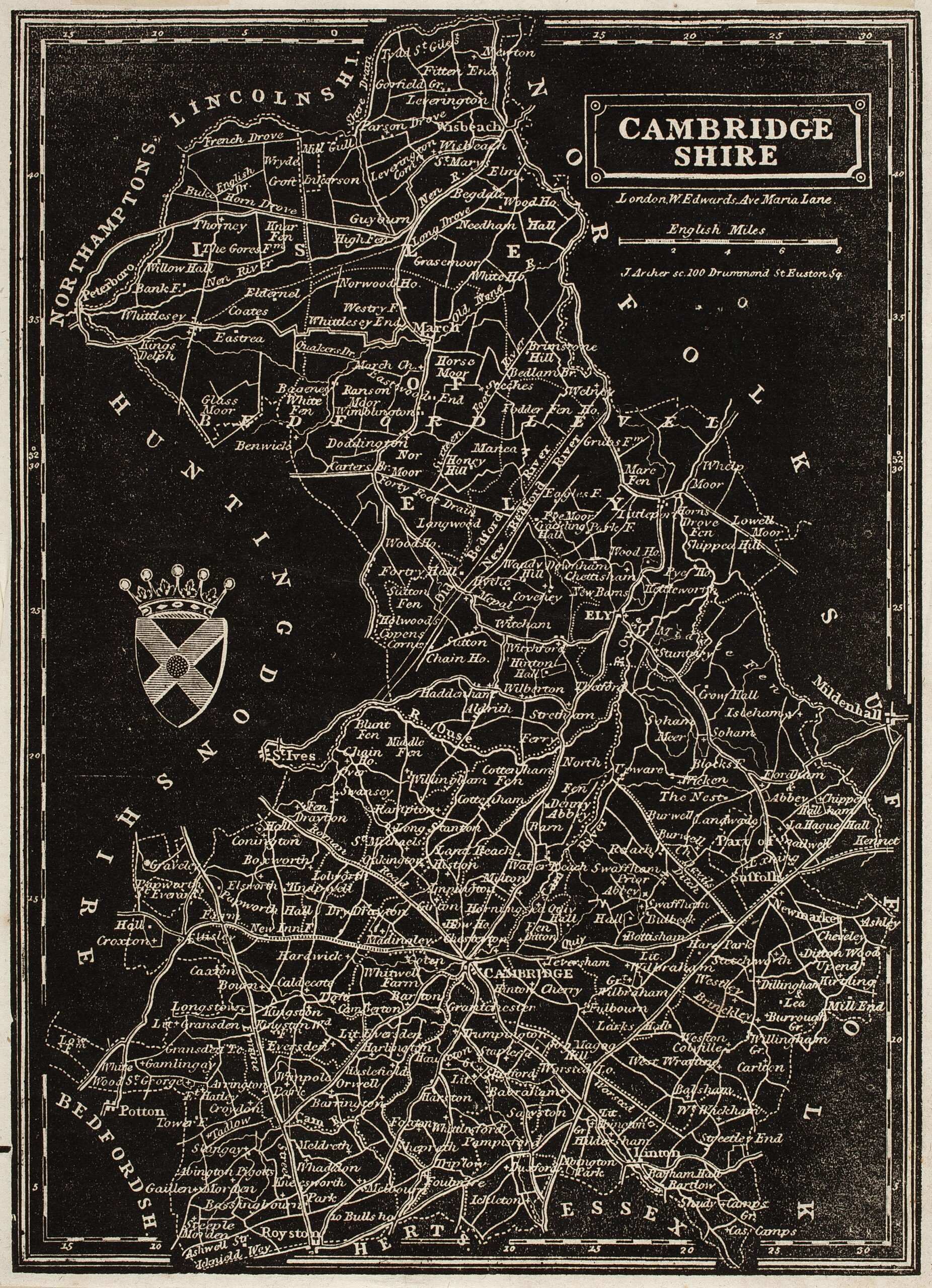
Map of Cambridgeshire c. 1843. J. Archer sc. W Edwards Publ. Sc. 5 miles to 1 inch. 21 x 15 cm. Printed in white on black.

1848
Fox-Hunting Map of Cambridgeshire, marking places of meetings of foxhounds. ? 1848. J. & C. Walker. Sc. about 3 ½ miles to 1 inch. (FORDHAM 187)
1850
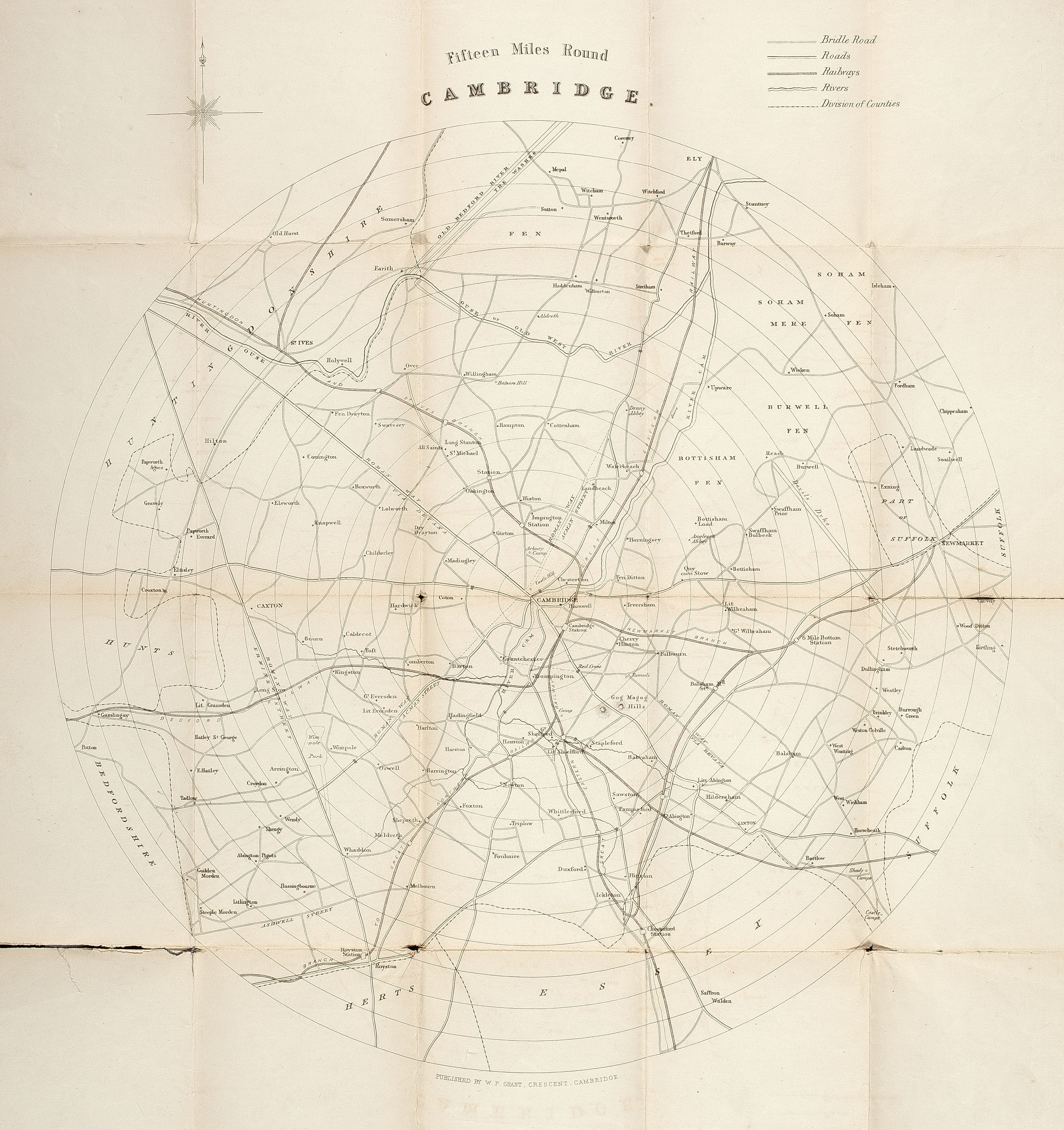
Map of Cambridgeshire. Fifteen Miles round Cambridge. C. 1850? W.P. Grant, publ. Circular map 37 cm in diameter. Similar to map in C. H. Newmarch’s Handbook of 10 Miles round C. 1852.
1851
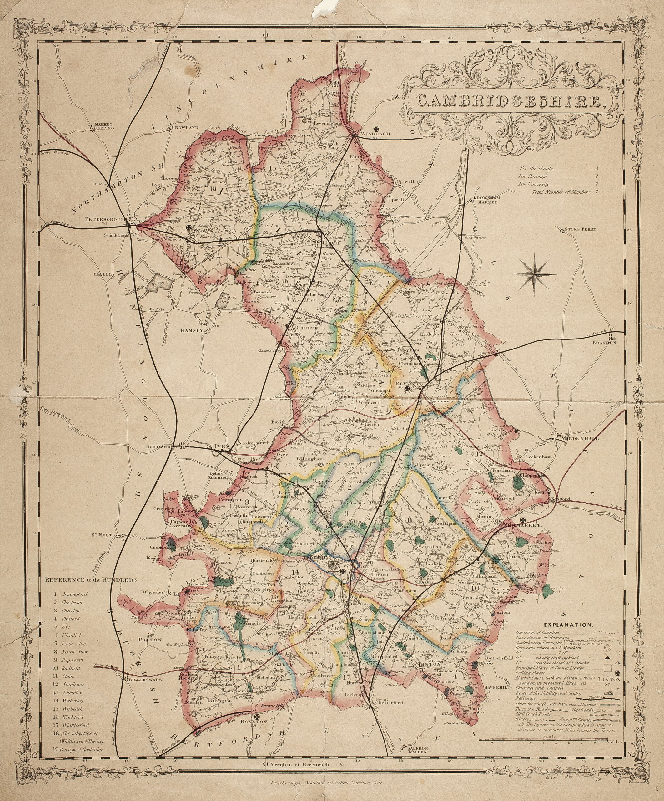
Map of Cambridgeshire. 1851 R. Gardner, publ. Sc. 3 ½ miles to 1 inch. 38 x 32 cm.
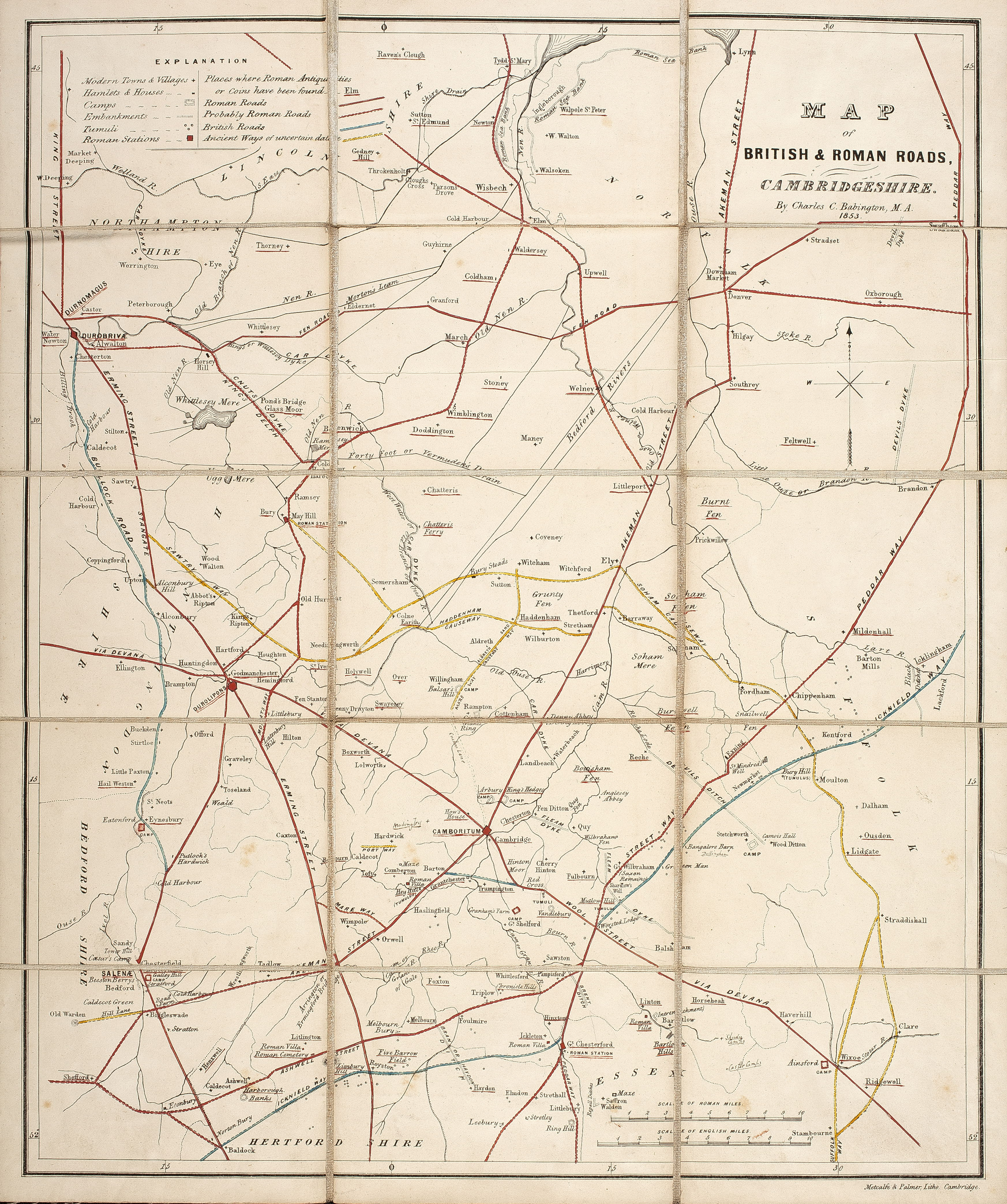
1853
A Map of the British & Roman Roads of Cambridgeshire. 1853. C.C. Babington. Sc. about 3 ½ miles to 1 inch. 41 x 33 cm. Later edition appears in
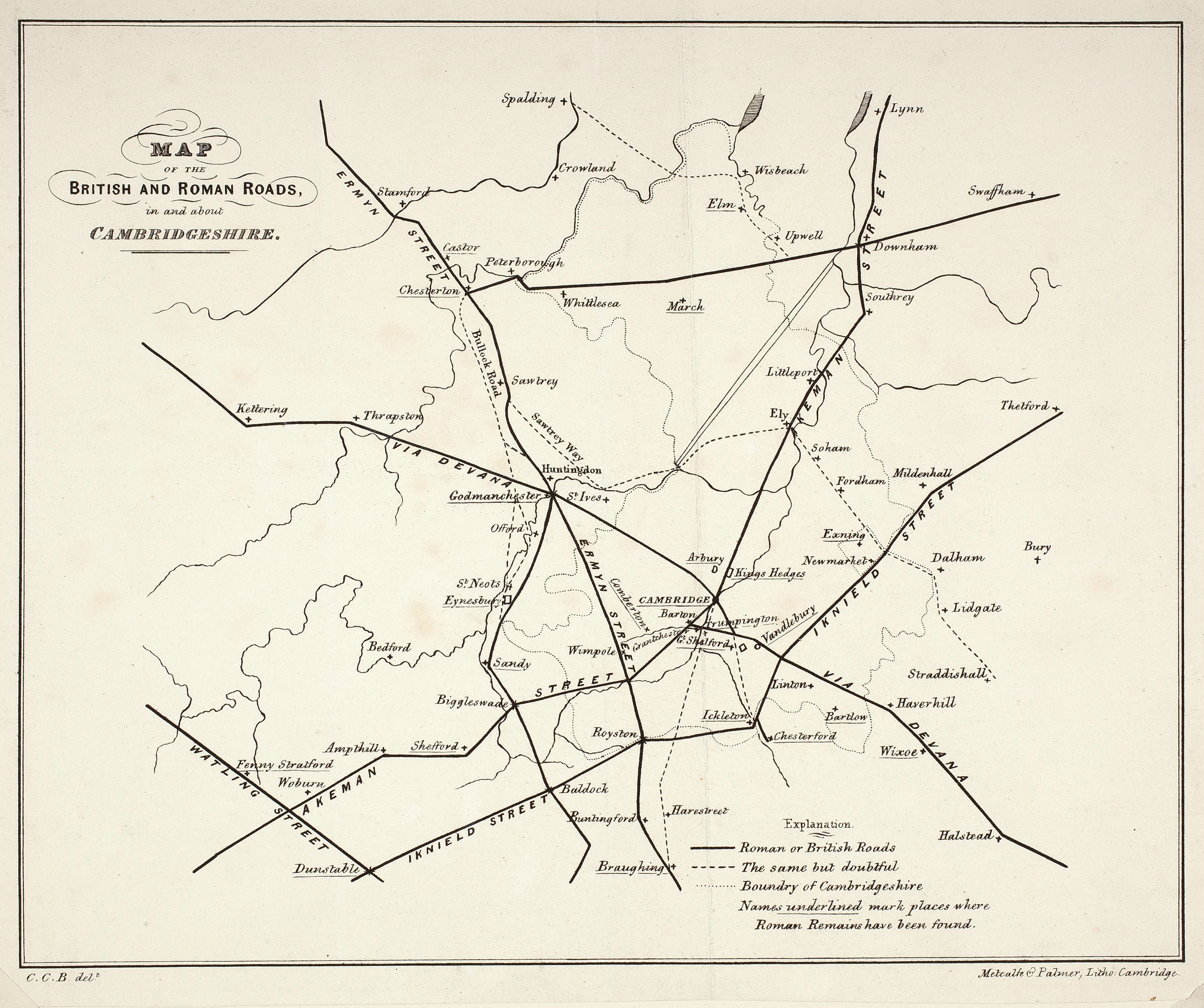
1856
Map of the British and Roman Roads in and about Cambridgeshire. 1856? C.C. B[abington] del. Metcalfe & Palmer, lith. No scale. 17.5 x 22 cm. From Arch. Journal XIV, 99.
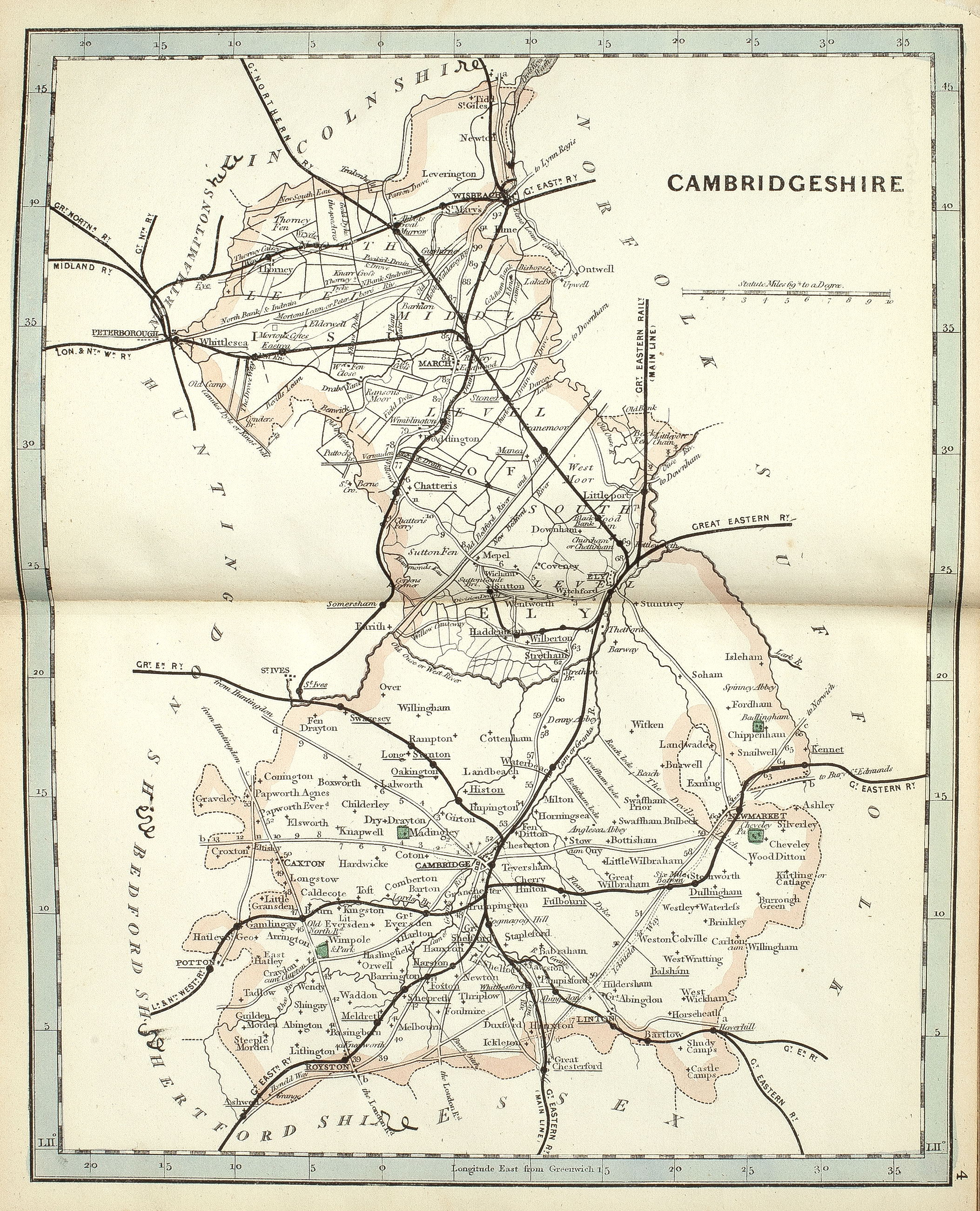
1871
Map of England & Wales. Crutchleys’ County Atlas (Railway Atlas). 46 maps. 1871?. Sc. Various. 25 x 19.5cm.
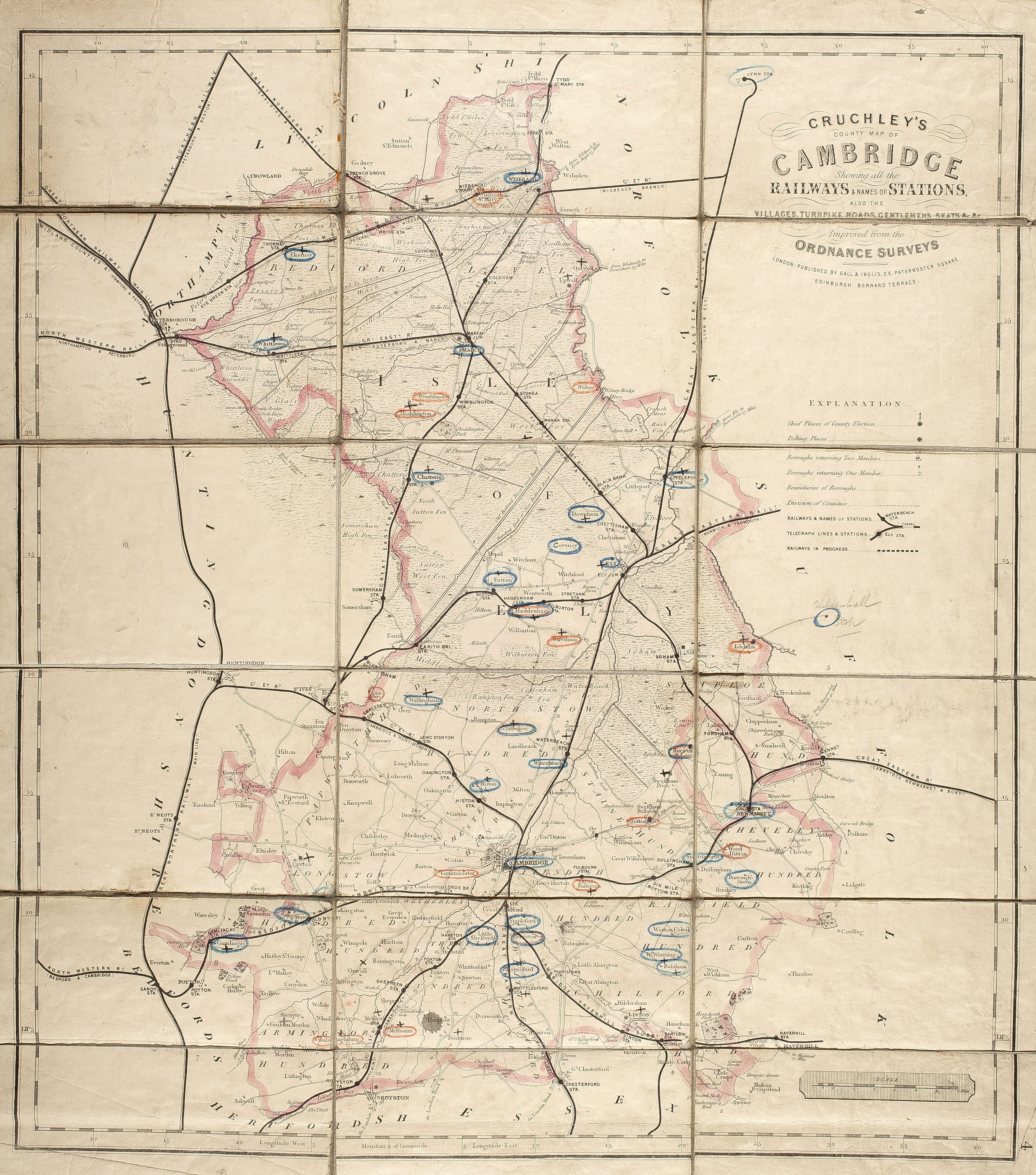
1875
Cruchley’s County Map of Cambridge, showing … railways … villages, turnpike roads, gentlemen’s seats, etc. c.1875, After John Cary 1808. Gall & Inglis, publ. Sc. about 2 ½ miles to 1 inch . 52.5 x 47 cm. (FORDHAM 163)
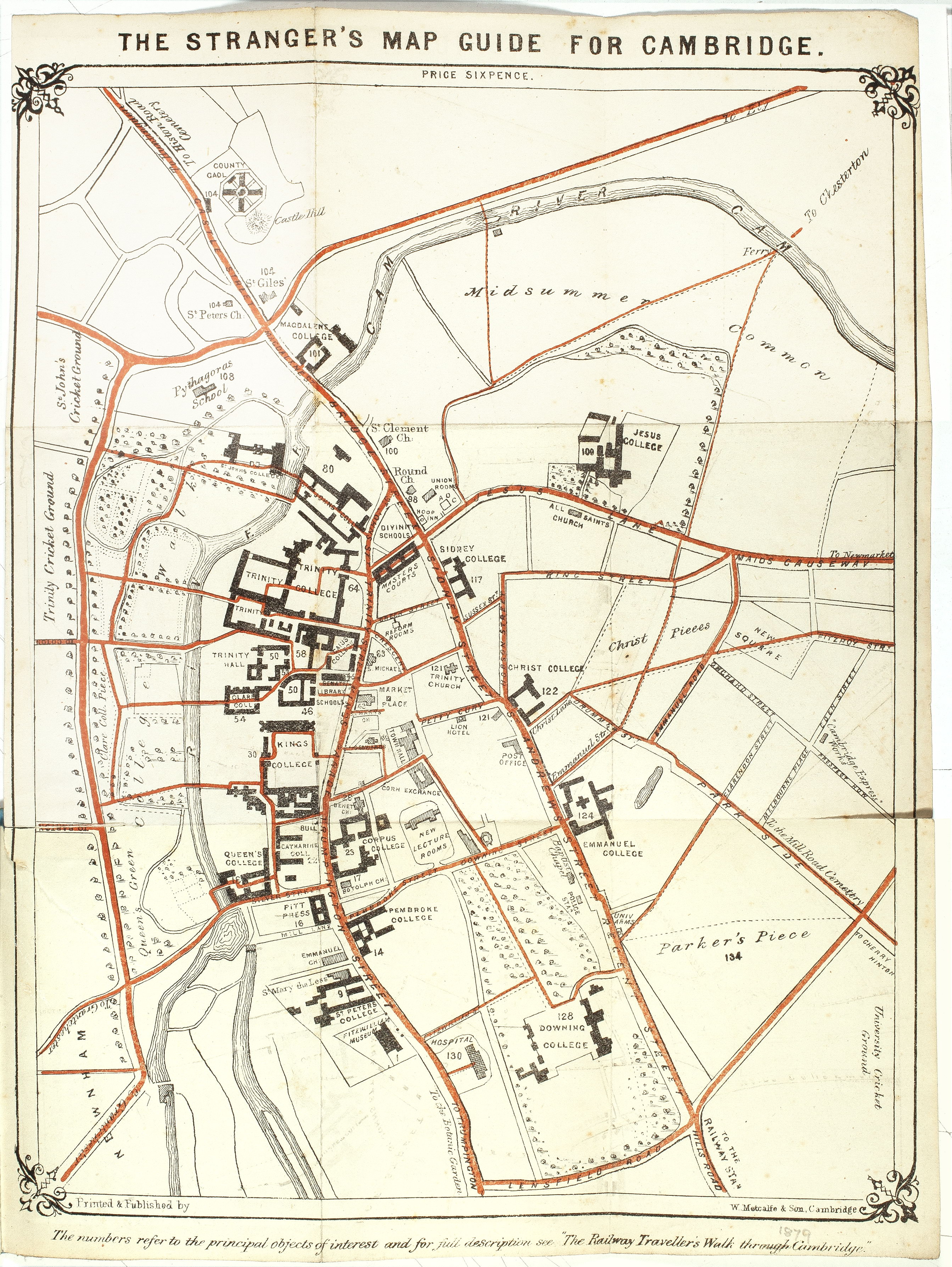
1879
Map of Cambridge. The Strangers’ Map Guide, priced 6d. Printed by W. Metcalfe & Son.Cambridge. To accompany Railway Traveller’s Walk through C. 1879. Text on pp.8 is a key to 134 numbers on plan. 25 x 19 cm
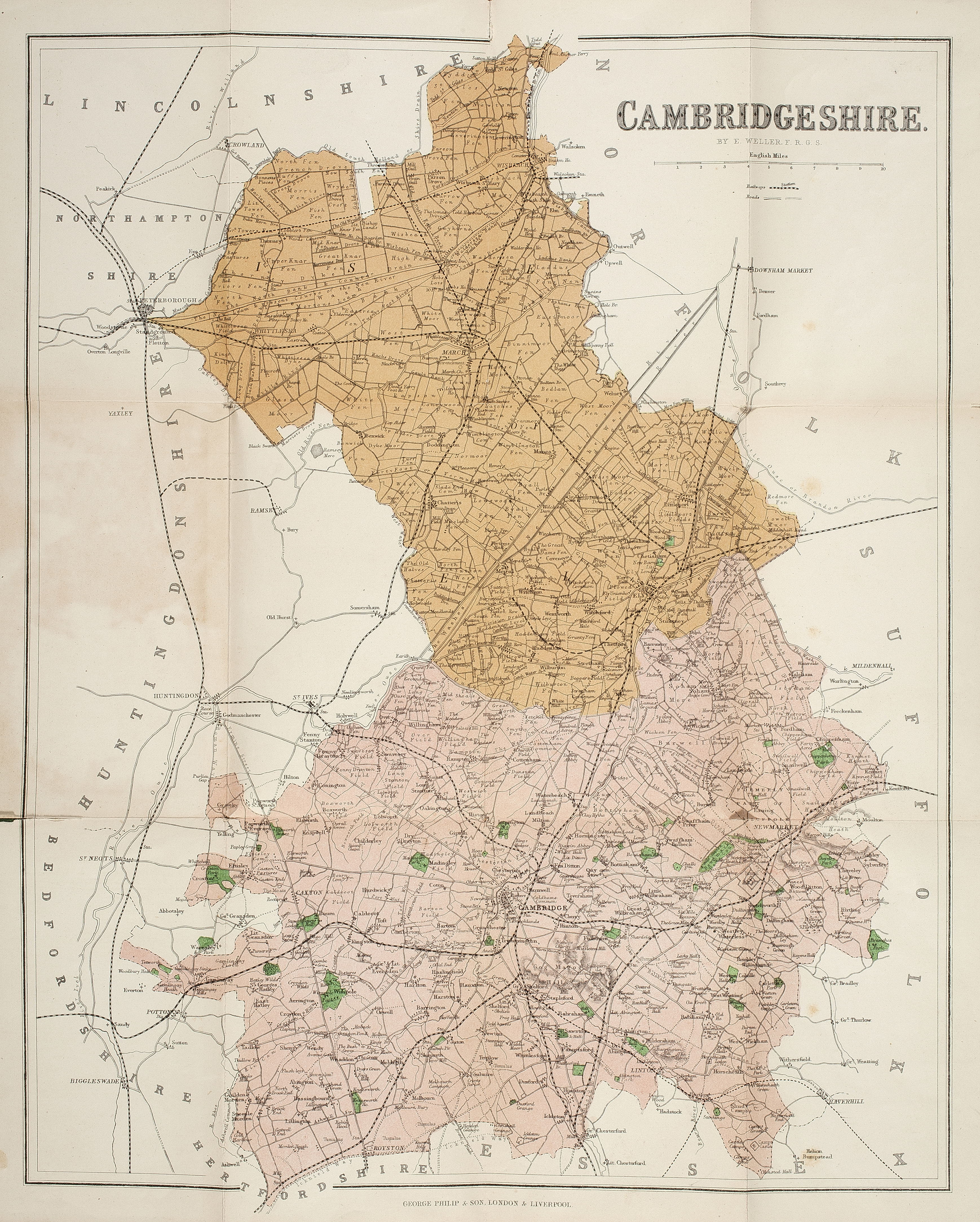
1880-1890
Map of Cambridgeshire. [1880-90?] E. Weller (Philips’ County Maps) Sc. 3 miles to 1 inch. 40 x 32 cm.
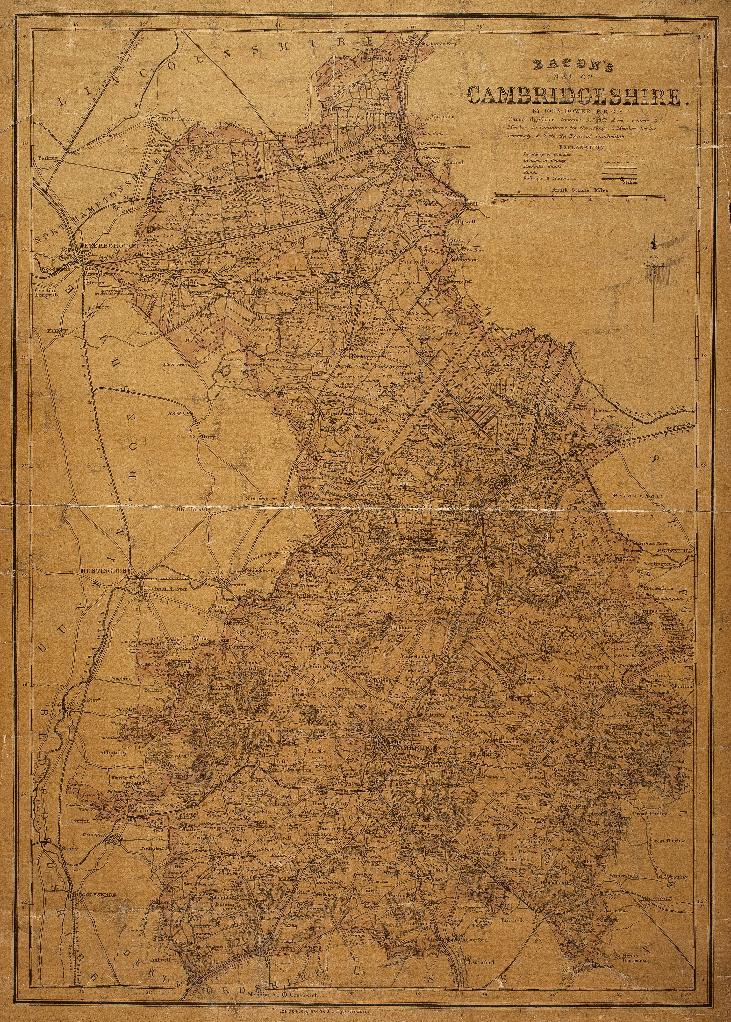
1880-1890
Map of Cambridgeshire. Bacon’s Map [1880-90?]. J. Dower. 58.5 x 40.5 cm.
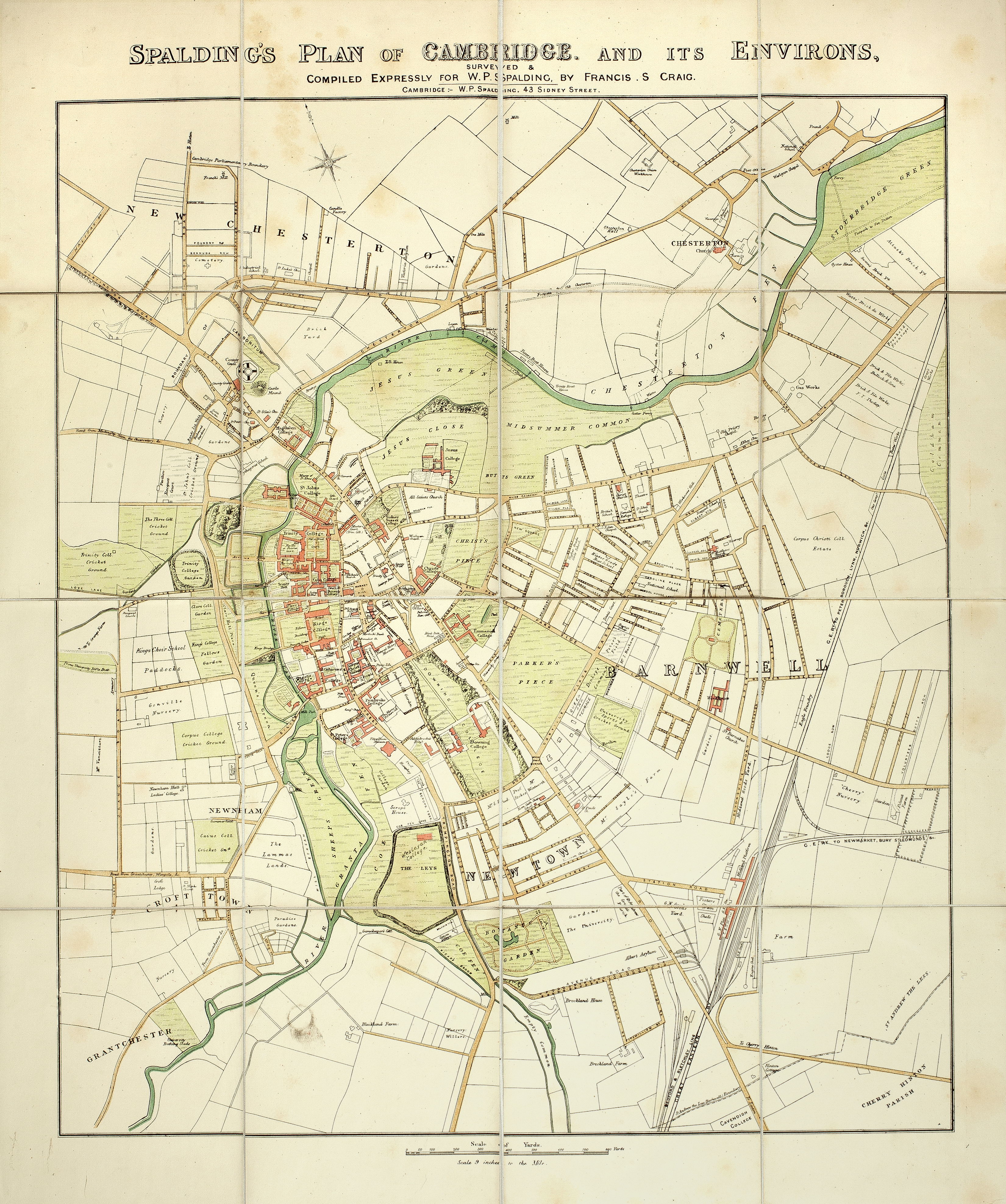
1881
Map of Cambridge. Spalding’s Plan of Cambridge and its Environs. 1881. Coloured. Sc. 9 in. to 1 mile. F.S. Craig. W.P. Spalding, publ. 51 x 45 cm.
